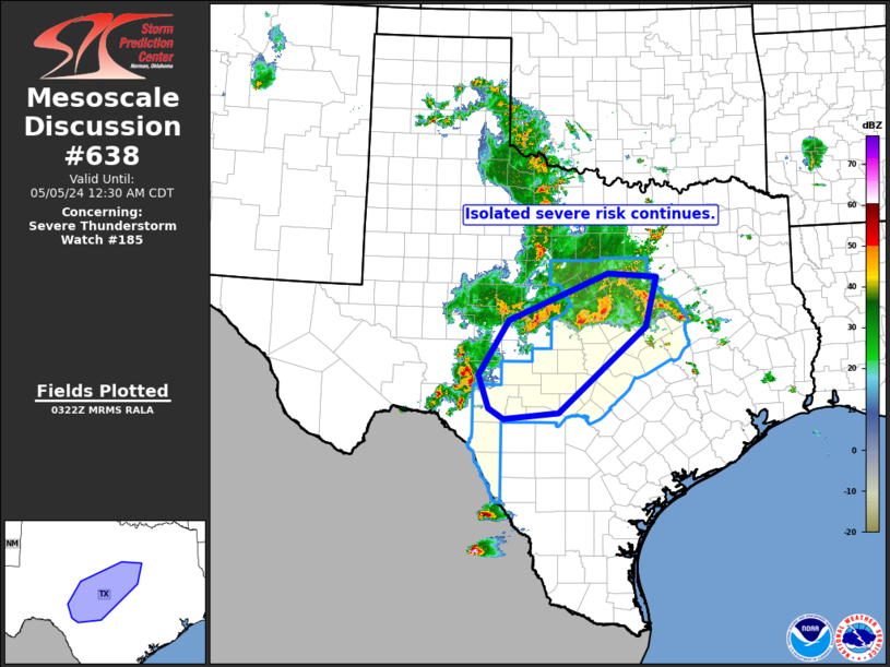
Storm Prediction Center Mesoscale Discussion 638
2 min read
|
|
 |
| Mesoscale Discussion 638 | |
| < Previous MD Next MD > | |

|
|
Mesoscale Discussion 0638 NWS Storm Prediction Center Norman OK 0550 PM CDT Thu May 01 2025 Areas affected...Southeast Ohio into western West Virginia Concerning...Severe Thunderstorm Watch 203... Valid 012250Z - 020045Z The severe weather threat for Severe Thunderstorm Watch 203 continues. SUMMARY...WW 203 will be allowed to expire at 23 UTC, but a localized corridor of wind damage potential may persist downstream of a line of thunderstorms for the next 1-2 hours. New watch issuance is not anticipated. DISCUSSION...Radar imagery from KRLX shows a convective line that was once mostly outflow-dominant attempting to established a more well-balanced updraft/downdraft convergence zone as new convection develops along the leading edge of the cold pool. Although GOES IR imagery continues to show warming cloud top temperatures (indicative of a weakening trend), lightning trends over the past 20 minutes suggest new updrafts are beginning to intensify. The onset of nocturnal cooling is gradually diminishing the thermodynamic environment downstream of this line, but VWP observations from KRLX continues to sample around 20 knots of 0-1 km bulk shear with shear vectors oriented largely orthogonal to the cold pool. Consequently, some organization/intensification of this line segment appears possible as storms move northeast along the OH river. Given the thermodynamic trends, additional watch issuance is not anticipated, but sporadic damaging winds appear possible for the next couple of hours. ..Moore.. 05/01/2025 ...Please see www.spc.noaa.gov for graphic product... ATTN...WFO...PBZ...RLX... LAT...LON 38098280 38628270 38788262 39758142 39848079 39728049 39558033 39288028 39068036 38168205 38048238 38018257 38098280 MOST PROBABLE PEAK TORNADO INTENSITY...UP TO 95 MPH MOST PROBABLE PEAK WIND GUST...55-70 MPH MOST PROBABLE PEAK HAIL SIZE...UP TO 1.25 IN |
|
|
Top/All Mesoscale Discussions/Forecast Products/Home |
|
2025-05-02 00:31:03


