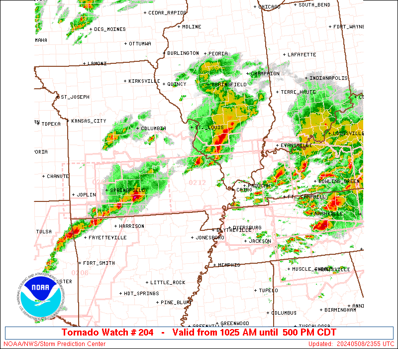
Storm Prediction Center Severe Thunderstorm Watch 204
3 min read
4 months ago
Note:
The expiration time in the watch graphic is amended if the watch is
replaced, cancelled or extended. Note: Click for Watch Status Reports.
   SEL4

   URGENT - IMMEDIATE BROADCAST REQUESTED
   Severe Thunderstorm Watch Number 204
   NWS Storm Prediction Center Norman OK
   230 PM CDT Thu May 1 2025

   The NWS Storm Prediction Center has issued a

   * Severe Thunderstorm Watch for portions of
     Central Texas

   * Effective this Thursday afternoon and evening from 230 PM until
     900 PM CDT.

   * Primary threats include...
     Scattered large hail and isolated very large hail events to 2.5
       inches in diameter likely
     Scattered damaging wind gusts to 70 mph likely

   SUMMARY...Isolated but intense thunderstorms are expected to form
   this afternoon in a very moist and unstable air mass.  Slow-moving
   supercells capable of very large hail appear to be the main concern.

   The severe thunderstorm watch area is approximately along and 40
   statute miles north and south of a line from 115 miles west of
   Temple TX to 65 miles east southeast of Temple TX. For a complete
   depiction of the watch see the associated watch outline update
   (WOUS64 KWNS WOU4).

   PRECAUTIONARY/PREPAREDNESS ACTIONS...

   REMEMBER...A Severe Thunderstorm Watch means conditions are
   favorable for severe thunderstorms in and close to the watch area.
   Persons in these areas should be on the lookout for threatening
   weather conditions and listen for later statements and possible
   warnings. Severe thunderstorms can and occasionally do produce
   tornadoes.

   &&

   OTHER WATCH INFORMATION...CONTINUE...WW 203...

   AVIATION...A few severe thunderstorms with hail surface and aloft to
   2.5 inches. Extreme turbulence and surface wind gusts to 60 knots. A
   few cumulonimbi with maximum tops to 500. Mean storm motion vector
   24035.

   ...Hart
Note:
The Aviation Watch (SAW) product is an approximation to the watch area.
The actual watch is depicted by the shaded areas.
   SAW4
   WW 204 SEVERE TSTM TX 011930Z - 020200Z
   AXIS..40 STATUTE MILES NORTH AND SOUTH OF LINE..
   115W TPL/TEMPLE TX/ - 65ESE TPL/TEMPLE TX/
   ..AVIATION COORDS.. 35NM N/S /40NE JCT - 63ENE CWK/
   HAIL SURFACE AND ALOFT..2.5 INCHES. WIND GUSTS..60 KNOTS.
   MAX TOPS TO 500. MEAN STORM MOTION VECTOR 24035.

   LAT...LON 31719936 31369641 30219641 30569936

   THIS IS AN APPROXIMATION TO THE WATCH AREA.  FOR A
   COMPLETE DEPICTION OF THE WATCH SEE WOUS64 KWNS
   FOR WOU4.
Watch 204 Status Report Messages:
STATUS REPORT #1 ON WW 204

VALID 012030Z - 012140Z

THE SEVERE WEATHER THREAT CONTINUES ACROSS THE ENTIRE WATCH AREA.

..WENDT..05/01/25

ATTN...WFO...EWX...FWD...HGX...SJT...

&&

STATUS REPORT FOR WS 204

SEVERE WEATHER THREAT CONTINUES FOR THE FOLLOWING AREAS

TXC021-027-041-051-053-099-145-281-287-299-309-319-331-333-395-
411-453-491-012140-

TX
.    TEXAS COUNTIES INCLUDED ARE

BASTROP 	     BELL		 BRAZOS
BURLESON	     BURNET		 CORYELL
FALLS		     LAMPASAS		 LEE
LLANO		     MCLENNAN		 MASON
MILAM		     MILLS		 ROBERTSON
SAN SABA	     TRAVIS		 WILLIAMSON
$$


THE WATCH STATUS MESSAGE IS FOR GUIDANCE PURPOSES ONLY.  PLEASE
REFER TO WATCH COUNTY NOTIFICATION STATEMENTS FOR OFFICIAL
INFORMATION ON COUNTIES...INDEPENDENT CITIES AND MARINE ZONES
CLEARED FROM SEVERE THUNDERSTORM AND TORNADO WATCHES.
$$
Probability of 1 or more strong (EF2-EF5) tornadoes
Low (<2%)
Wind
Probability of 10 or more severe wind events
Mod (60%)
Probability of 1 or more wind events > 65 knots
Low (20%)
Hail
Probability of 10 or more severe hail events
Mod (60%)
Probability of 1 or more hailstones > 2 inches
Mod (60%)
Combined Severe Hail/Wind
Probability of 6 or more combined severe hail/wind events
High (>95%)
For each watch, probabilities for particular events inside the watch
(listed above in each table) are determined by the issuing forecaster.
The “Low” category contains probability values ranging from less than 2%
to 20% (EF2-EF5 tornadoes), less than 5% to 20% (all other probabilities),
“Moderate” from 30% to 60%, and “High” from 70% to greater than 95%.
High values are bolded and lighter in color to provide awareness of
an increased threat for a particular event.