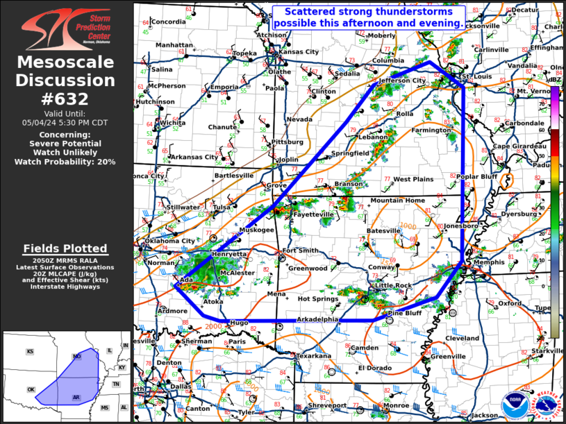
Storm Prediction Center Mesoscale Discussion 632
1 min read
|
|
 |
| Mesoscale Discussion 632 | |
| < Previous MD | |

|
|
Mesoscale Discussion 0632 NWS Storm Prediction Center Norman OK 0143 PM CDT Thu May 01 2025 Areas affected...central/eastern OH...northeast KY...western/northern WV...western PA Concerning...Severe Thunderstorm Watch 203... Valid 011843Z - 012015Z The severe weather threat for Severe Thunderstorm Watch 203 continues. SUMMARY...Sporadic strong gusts capable of producing isolated damaging winds should be the primary hazard through the rest of the afternoon. DISCUSSION...Broken cells/clusters have increased in latitudinal extent along a north-northeast to south-southwest confluence axis from western Lake Erie through central KY. Measured gusts of 35-45 kts have sporadically been measured, mainly across the OH portion of the band. This will likely persist and may still increase slightly over the next couple hours during the late afternoon. Area VWP data still indicates that the bulk of southwesterly speed shear is through the lowest 3 km, yielding pronounced weakness in the hodograph above that. This suggests that organizational potential may be limited, and recent WoFS guidance supports this scenario. More isolated convection has also formed over the higher terrain in the central Appalachian vicinity. This activity may struggle to expand east-northeast with a pronounced decrease in boundary-layer moisture across central PA and north/east from there. ..Grams.. 05/01/2025 ...Please see www.spc.noaa.gov for graphic product... ATTN...WFO...CTP...LWX...PBZ...RLX...CLE...JKL...ILN...LMK... LAT...LON 41308239 41608208 42058121 42118070 42188009 41237937 40497916 39777898 39387918 39037967 38888114 38748169 37958292 37588399 37598446 37988457 38808377 39818292 41308239 MOST PROBABLE PEAK TORNADO INTENSITY...UP TO 95 MPH MOST PROBABLE PEAK WIND GUST...55-70 MPH MOST PROBABLE PEAK HAIL SIZE...UP TO 1.25 IN |
|
|
Top/All Mesoscale Discussions/Forecast Products/Home |
|
2025-05-01 18:45:03


