Storm Prediction Center Mesoscale Discussion 618
1 min read
|
|
 |
| Mesoscale Discussion 618 | |
| < Previous MD | |

|
|
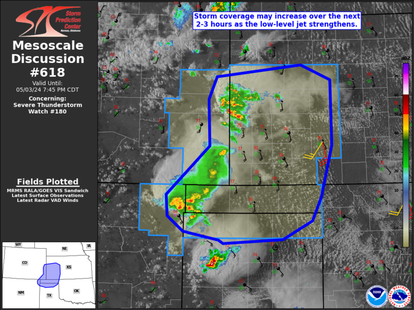
Mesoscale Discussion 0618 NWS Storm Prediction Center Norman OK 1121 AM CDT Wed Apr 30 2025 Areas affected...portions of northeast OK into northwest AR Concerning...Tornado Watch 197... Valid 301621Z - 301745Z The severe weather threat for Tornado Watch 197 continues. SUMMARY...A line of storms will move east/northeast into portions of northeast Oklahoma and northwest Arkansas over the next few hours. Sporadic strong to severe gusts may accompany this activity. Trends are being monitored for possible watch issuance or extension of WW 197. DISCUSSION...A mature MCS is currently shifting east across eastern OK and north TX late this morning. Individual bowing segments within the broader line of storms may lift more northeast with time into portions of northeast OK and northwest AR through early afternoon. Filtered heating is occurring across northern AR where thinner cloud cover is noted. Generally low 60s F dewpoints are supporting modest instability, and further destabilization will likely remain limited given somewhat poor lapse rates with northward extent. Nevertheless, organized convection moving into this environment will continue to pose a risk for mainly damaging gusts, though a brief spin-up also could occur with any line-embedded mesovortex that develops. Tornado Watch 197 may be extended northward, or a new watch could be issued depending on convective trends. ..Leitman/Hart.. 04/30/2025 ...Please see www.spc.noaa.gov for graphic product... ATTN...WFO...LZK...TSA... LAT...LON 35589576 36169533 36209525 36479462 36489365 36489282 36399254 35829245 35309256 35219275 35199302 35219430 35289530 35309566 35399576 35589576 MOST PROBABLE PEAK TORNADO INTENSITY...85-115 MPH MOST PROBABLE PEAK WIND GUST...55-70 MPH MOST PROBABLE PEAK HAIL SIZE...UP TO 1.25 IN |
|
|
Top/All Mesoscale Discussions/Forecast Products/Home |
|
2025-04-30 16:30:03


