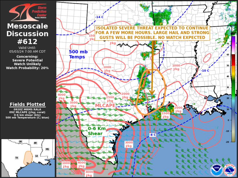
Storm Prediction Center Mesoscale Discussion 612
1 min read
|
|
 |
| Mesoscale Discussion 612 | |
| < Previous MD Next MD > | |

|
|
Mesoscale Discussion 0612 NWS Storm Prediction Center Norman OK 0842 PM CDT Tue Apr 29 2025 Areas affected...Parts of the Texas South Plains Concerning...Severe Thunderstorm Watch 190... Valid 300142Z - 300345Z The severe weather threat for Severe Thunderstorm Watch 190 continues. SUMMARY...The severe risk has become increasingly isolated across the Texas South Plains in WW190. However, severe potential should once again increase into the overnight hours (03-06Z time frame). DISCUSSION...In the wake of earlier severe storms across the TX South Plains, the severe risk has become increasingly isolated -- with a couple small/discrete storms capable of producing severe hail in the near-term. As a result, current thinking is that WW190 will be allowed to expire across this region at 02Z. However, as a 40-50 kt low-level jet develops and impinges on a stationary boundary draped across the area tonight, another round of thunderstorms is expected in the 03-06Z time frame. Steep deep-layer lapse rates (sampled by the MAF 00Z sounding) and 50-60 kt of effective shear will support clusters of severe storms (some potentially elevated) capable of severe hail and damaging winds. Convective and environmental trends will be monitored for the need for an additional watch. ..Weinman/Guyer.. 04/30/2025 ...Please see www.spc.noaa.gov for graphic product... ATTN...WFO...SJT...LUB...MAF... LAT...LON 31960237 32660215 33620168 34070123 34210072 34090015 33710000 32620010 31440049 31120076 31040121 31130192 31370229 31960237 MOST PROBABLE PEAK TORNADO INTENSITY...85-115 MPH MOST PROBABLE PEAK WIND GUST...55-70 MPH MOST PROBABLE PEAK HAIL SIZE...1.50-2.50 IN |
|
|
Top/All Mesoscale Discussions/Forecast Products/Home |
|
2025-04-30 01:55:02


