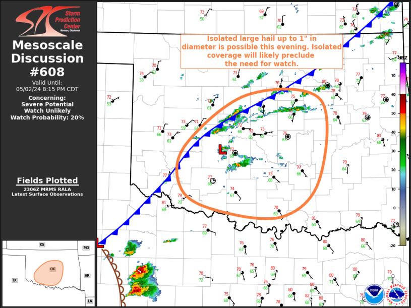
Storm Prediction Center Mesoscale Discussion 608
1 min read
|
|
 |
| Mesoscale Discussion 608 | |
| < Previous MD | |

|
|
Mesoscale Discussion 0608 NWS Storm Prediction Center Norman OK 0355 PM CDT Tue Apr 29 2025 Areas affected...Portions of South Plains into western North Texas Concerning...Severe Thunderstorm Watch 190... Valid 292055Z - 292230Z The severe weather threat for Severe Thunderstorm Watch 190 continues. SUMMARY...A localized corridor of tornado potential may develop over the next few hours. Storms will need to root along/east of the surface boundary for this potential to be realized. DISCUSSION...A cluster of supercells, some of which have produced greater than 2 inch hail, are generally rooted just on the cool side of the surface cold front. If storms can remain discrete and track with a more eastward motion, warm/moist easterly surface winds are in the warm sector. Greater tornado potential would exist should that scenario occur. Given at least a modest increase in low-level flow this evening, it is possible the boundary moves slightly northwestward. Trends will be monitored. ..Wendt.. 04/29/2025 ...Please see www.spc.noaa.gov for graphic product... ATTN...WFO...OUN...SJT...LUB...MAF... LAT...LON 32970169 33450131 34009979 33919933 33549957 32970034 32870105 32970169 MOST PROBABLE PEAK TORNADO INTENSITY...100-130 MPH MOST PROBABLE PEAK WIND GUST...65-80 MPH MOST PROBABLE PEAK HAIL SIZE...2.00-3.50 IN |
|
|
Top/All Mesoscale Discussions/Forecast Products/Home |
|
2025-04-29 21:56:02


