Storm Prediction Center Mesoscale Discussion 606
2 min read
|
|
 |
| Mesoscale Discussion 606 | |
| < Previous MD Next MD > | |

|
|
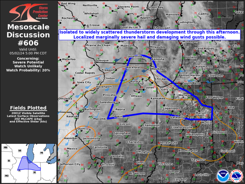
Mesoscale Discussion 0606 NWS Storm Prediction Center Norman OK 0327 PM CDT Tue Apr 29 2025 Areas affected...southern IL/IN into southwest OH. Concerning...Severe Thunderstorm Watch 188...189... Valid 292027Z - 292230Z The severe weather threat for Severe Thunderstorm Watch 188, 189 continues. SUMMARY...Strong to severe thunderstorms producing damaging wind gusts will move from southern Illinois into southern Indiana the next 1-2 hours. Additional severe risk may redevelop into southwest Ohio this evening. DISCUSSION...A mature MCS continues to move from southern IL into southern IN this afternoon. This activity has sporadically produced damaging gusts and isolated hail over the last couple of hours, with a couple areas of line-embedded rotation also noted. These storms should maintain intensity as it moves east across a moderately unstable airmass with steepening low-level lapse rates continuing to support damaging wind potential across Severe Thunderstorm Watch 189. By evening, this MCS is expected to approach southwest OH and Severe Thunderstorm Watch 188. The airmass across this area has shown signs of recovery from a midday cluster of severe storms now approaching western PA. Temperatures have rebounded into the mid/upper 70s with dewpoints in the mid/upper 60s. This area could support a continued severe risk into this evening. As such, watch clearance has not been recommended as redevelopment of new convection is possible. Likewise, the cluster moving into southern IN also may approach this area in the next 2-3 hours. ..Leitman.. 04/29/2025 ...Please see www.spc.noaa.gov for graphic product... ATTN...WFO...ILN...LMK...IND...PAH...ILX... LAT...LON 39028811 39978441 39828393 39468362 39168363 38878409 38558476 37958663 37678822 37808866 38618855 39028811 MOST PROBABLE PEAK TORNADO INTENSITY...85-115 MPH MOST PROBABLE PEAK WIND GUST...55-70 MPH MOST PROBABLE PEAK HAIL SIZE...1.00-1.75 IN |
|
|
Top/All Mesoscale Discussions/Forecast Products/Home |
|
2025-04-29 20:51:02


