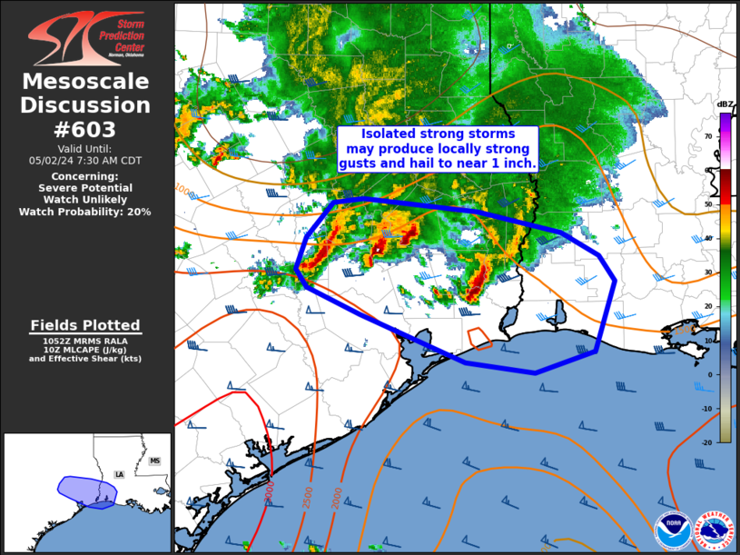
Storm Prediction Center Mesoscale Discussion 603
2 min read
|
|
 |
| Mesoscale Discussion 603 | |
| < Previous MD Next MD > | |

|
|
   Mesoscale Discussion 0603
   NWS Storm Prediction Center Norman OK
   1252 PM CDT Tue Apr 29 2025

   Areas affected...southern IL/IN into portions of western/northern KY

   Concerning...Severe potential...Watch likely

   Valid 291752Z - 291915Z

   Probability of Watch Issuance...80 percent

   SUMMARY...Severe thunderstorms with a risk for damaging gusts and
   isolated hail are expected across portions of the Lower Ohio Valley
   through the afternoon. A new watch will likely be needed by 19z.

   DISCUSSION...A cluster of convection across southeast MO will
   continue to shift east/northeast through the afternoon. While this
   activity is in a relative minimum with regards to intensity compared
   to earlier today, the downstream airmass across portions of the
   Lower Ohio Valley continues to destabilize amid mid/upper 60s F
   dewpoints and temperatures in the 80s F. Some re-intensification of
   the storm cluster is possible as it encounters this airmass.
   Additional thunderstorm development is also possible near the Ohio
   River in southern IN. A cluster of cumulus has been deepening across
   this area, where outflow from earlier convection may be providing
   focus for new development.

   Steepened low-level lapse rates, moderate instability, and effective
   shear increasing to greater than 35 kt should favor organized
   cells/clusters capable of damaging gusts and isolated hail. A new
   watch downstream from Severe Thunderstorm Watch 187 will likely be
   needed in the next hour or so.

   ..Leitman/Hart.. 04/29/2025

   ...Please see www.spc.noaa.gov for graphic product...

   ATTN...WFO...ILN...LMK...IND...PAH...ILX...LSX...

   LAT...LON   37588623 37098837 37028880 37128923 37498953 37888971
               38328933 38808804 39178648 39228568 39008534 38618515
               38168515 37848550 37588623

   MOST PROBABLE PEAK TORNADO INTENSITY...UP TO 95 MPH
   MOST PROBABLE PEAK WIND GUST...55-70 MPH
   MOST PROBABLE PEAK HAIL SIZE...1.00-1.75 IN
|
|
|
Top/All Mesoscale Discussions/Forecast Products/Home |
|
2025-04-29 18:13:03


