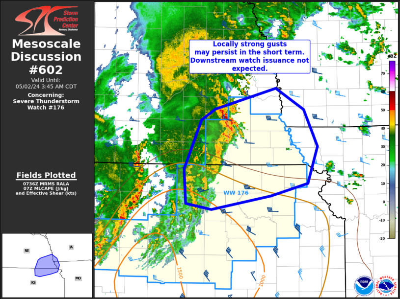
Storm Prediction Center Mesoscale Discussion 602
1 min read
|
|
 |
| Mesoscale Discussion 602 | |
| < Previous MD | |

|
|
   Mesoscale Discussion 0602
   NWS Storm Prediction Center Norman OK
   1101 AM CDT Tue Apr 29 2025

   Areas affected...southeast IN and much of OH into western PA

   Concerning...Severe potential...Watch likely

   Valid 291601Z - 291730Z

   Probability of Watch Issuance...80 percent

   SUMMARY...Severe thunderstorm potential will increase over the next
   1-2 hours across southeast Indiana and across much of Ohio/western
   Pennsylvania. Damaging gusts will be the primary hazard, along with
   isolated large hail and perhaps a tornado.

   DISCUSSION...A cluster of thunderstorms/weak MCV over central IN has
   slowly intensified over the past 30 minutes of so, and a recent wind
   gust to 65 mph was reported near Martinsville IN. Radar trends have
   show increasing intensity at 5 and 7 km as convection moves into a
   weakly unstable and strongly shear environment.

   Downstream across western OH, low to mid 60s F dewpoints and
   temperatures warming into the mid/upper 70s at midday are supporting
   weak destabilization. Additional heating/moistening and steepening
   of low-level lapse rates into the afternoon should support eventual
   increase in strong/severe convection across the MCD area.
   Unidirectional flow, with veering low-level winds, generally will
   favor line segments and severe wind gusts are expected to be the
   primary hazard. Isolated large hail also is possible, especially
   from central Ohio northeast toward western PA where a plume of
   steeper midlevel lapse rates resides. Some speed shear in the lowest
   1-2 km will support small but curved low-level hodographs. While a
   tornado or two is possible, this threat is expected to be limited
   compared to the severe/damaging wind potential.

   ..Leitman/Hart.. 04/29/2025

   ...Please see www.spc.noaa.gov for graphic product...

   ATTN...WFO...PBZ...RLX...CLE...ILN...IWX...IND...

   LAT...LON   39248658 39638649 40098579 40348546 40968390 41398225
               41398111 41328038 41157998 40797983 40248005 39938035
               39618081 39318139 39198216 38968445 38928601 39098646
               39248658

   MOST PROBABLE PEAK TORNADO INTENSITY...85-115 MPH
   MOST PROBABLE PEAK WIND GUST...55-70 MPH
   MOST PROBABLE PEAK HAIL SIZE...1.00-1.75 IN
|
|
|
Top/All Mesoscale Discussions/Forecast Products/Home |
|
2025-04-29 16:04:03


