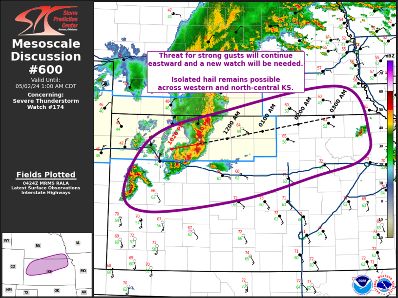
Storm Prediction Center Mesoscale Discussion 600
1 min read
|
|
 |
| Mesoscale Discussion 600 | |
| < Previous MD | |

|
|
   Mesoscale Discussion 0600
   NWS Storm Prediction Center Norman OK
   0830 AM CDT Tue Apr 29 2025

   Areas affected...southern MO/IL into northern AR

   Concerning...Severe potential...Severe Thunderstorm Watch likely

   Valid 291330Z - 291500Z

   Probability of Watch Issuance...95 percent

   SUMMARY...Strong to severe wind gusts will persist with a bowing
   cluster of storms moving across southern Missouri and northern
   Arkansas. A new Severe Thunderstorm Watch will be needed.

   DISCUSSION...A cluster of strong to severe thunderstorms moving into
   southwest MO/far northwest AR has produced wind damage and severe
   gusts recently at Miami, OK near the OK/MO border. The KINX VWP
   suggests rear-inflow near 40 kt behind this bowing cluster that is
   quickly moving east at around 50-60 kt. Downstream across southern
   MO/northern AR, surface dewpoints are in the mid to upper 60s F with
   temperatures already starting out in the low 70s this morning. This
   is supporting modest instability, which may increase some through
   the remainder of the morning/early afternoon given areas of clear to
   scattered cloudiness ahead of the system. While the bulk of this
   convection may remain over southern MO, some forecast guidance
   suggests southward development on the southwest flank may occur over
   northern AR. Eventually, convection will move into southern IL later
   this afternoon. A Severe Thunderstorm Watch will likely be needed
   soon across portions of the MCD area.

   ..Leitman/Hart.. 04/29/2025

   ...Please see www.spc.noaa.gov for graphic product...

   ATTN...WFO...PAH...MEG...LSX...LZK...SGF...TSA...

   LAT...LON   37829405 38139104 38348907 36998863 36088949 35839066
               35409214 35699448 36229491 36819486 37279475 37829405

   MOST PROBABLE PEAK TORNADO INTENSITY...UP TO 95 MPH
   MOST PROBABLE PEAK WIND GUST...55-70 MPH
   MOST PROBABLE PEAK HAIL SIZE...1.50-2.50 IN
|
|
|
Top/All Mesoscale Discussions/Forecast Products/Home |
|
2025-04-29 13:57:02


