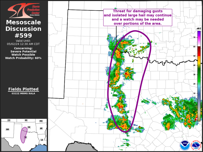
Storm Prediction Center Mesoscale Discussion 599
1 min read
|
|
 |
| Mesoscale Discussion 599 | |
| < Previous MD | |

|
|
Mesoscale Discussion 0599 NWS Storm Prediction Center Norman OK 0552 AM CDT Tue Apr 29 2025 Areas affected...central into northeast Oklahoma...far southeast Kansas Concerning...Severe Thunderstorm Watch 186... Valid 291052Z - 291345Z The severe weather threat for Severe Thunderstorm Watch 186 continues. SUMMARY...Locally severe gusts remain possible from central into northeast Oklahoma. DISCUSSION...The leading edge of a small MCS which moved out of northwest TX and pivoted into southwest OK continues to produce measured severe gusts, most recently in Grady County as of 1030Z. North of this area, storms have gradually increased along the cold front extending from southeast KS into north-central OK. This line of storms is also beginning to produce outflow as well. An unstable air mass remains ahead of both convective systems, and it appears these storms will merge from central into northeast OK. Damaging gusts will remain the most likely threat, although hail of 1.00+" is likely in the stronger storm cores. ..Jewell/Mosier.. 04/29/2025 ...Please see www.spc.noaa.gov for graphic product... ATTN...WFO...SGF...TSA...ICT...OUN... LAT...LON 36179771 36679683 37129590 37279534 37379454 37129419 36239417 34799667 34669735 35089757 35359796 35729808 35979802 36179771 MOST PROBABLE PEAK TORNADO INTENSITY...UP TO 95 MPH MOST PROBABLE PEAK WIND GUST...65-80 MPH MOST PROBABLE PEAK HAIL SIZE...1.00-1.75 IN |
|
|
Top/All Mesoscale Discussions/Forecast Products/Home |
|
2025-04-29 11:08:03


