
Storm Prediction Center Mesoscale Discussion 597
1 min read|
|
| Mesoscale Discussion 597 | |
| < Previous MD | |
|
|
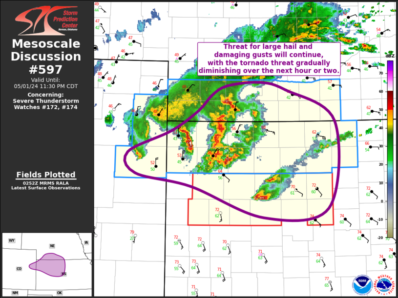
   Mesoscale Discussion 0597
   NWS Storm Prediction Center Norman OK
   1250 AM CDT Tue Apr 29 2025

   Areas affected...far southern Kansas...much of northern
   Oklahoma...and small portions of the Texas Panhandle and southwest
   Missouri

   Concerning...Severe potential...Watch possible

   Valid 290550Z - 290745Z

   Probability of Watch Issuance...60 percent

   SUMMARY...Storms are forecast to increase in coverage along or
   possibly just ahead of the cold front as it pushes south from Kansas
   into Oklahoma and surrounding states. Locally damaging gusts and
   sporadic large hail will be possible.

   DISCUSSION...A cold front currently stretches from the OK Panhandle
   across south-central KS and into northwest MO, with elevated
   convection already forming in the HUT to P28 corridor. South of the
   front, a moist and unstable air mass remains in places with MLCAPE
   to 2000 J/kg.

   Winds aloft will remain nearly parallel to the cold front, and even
   the low-level jet will veer with time. As such, any initial cellular
   activity (producing hail) may tend to merge into an MCS. Such an MCS
   would move eastward with the mean wind, possibly producing damaging
   winds across northern OK and vicinity.

   ..Jewell/Mosier.. 04/29/2025

   ...Please see www.spc.noaa.gov for graphic product...

   ATTN...WFO...SGF...TSA...ICT...OUN...DDC...AMA...

   LAT...LON   37129404 36699426 36459465 35939569 35749742 35509882
               35479990 35620023 36020035 36380019 36859971 37139910
               37519811 37829734 37979590 37899471 37589409 37129404

   MOST PROBABLE PEAK TORNADO INTENSITY...85-115 MPH
   MOST PROBABLE PEAK WIND GUST...65-80 MPH
   MOST PROBABLE PEAK HAIL SIZE...1.50-2.50 IN
|
|
|
Top/All Mesoscale Discussions/Forecast Products/Home |
|
2025-04-29 05:52:06


