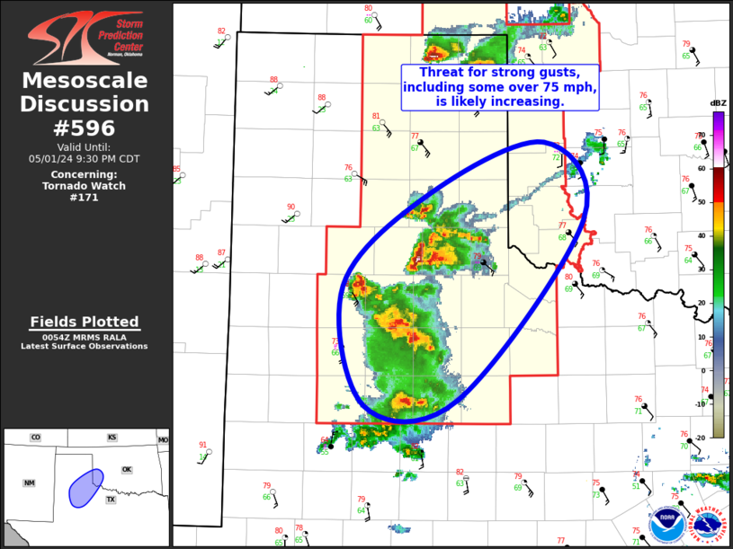
Storm Prediction Center Mesoscale Discussion 596
1 min read
|
|
 |
| Mesoscale Discussion 596 | |
| < Previous MD | |

|
|
Mesoscale Discussion 0596 NWS Storm Prediction Center Norman OK 1133 PM CDT Mon Apr 28 2025 Areas affected...Texas South Plains Concerning...Severe potential...Watch possible Valid 290433Z - 290530Z Probability of Watch Issuance...40 percent SUMMARY...Isolated large hail may be noted with developing thunderstorms. The need for a severe thunderstorm watch is uncertain. DISCUSSION...Southeasterly low-level flow is increasing across west TX late this evening. Latest VWP data from MAF supports this with 50kt 1km flow and strong 0-3km SRH. Latest diagnostic data suggests boundary-layer moisture has surged back into the TX South Plains and a sharp moisture demarcation appears to be partly responsible for recent uptick in convection from near INK to Lynn County. Hail is noted along this line of storms which should gradually spread/develop northeast as LLJ is expected to remain focused into this region. Given the linear nature of this convection, current thinking is hail should remain somewhat marginal. Even so, isolated hail could exceed severe levels. ..Darrow/Gleason.. 04/29/2025 ...Please see www.spc.noaa.gov for graphic product... ATTN...WFO...OUN...LUB...MAF... LAT...LON 32430316 34450069 33889975 32740133 31860310 32430316 MOST PROBABLE PEAK WIND GUST...55-70 MPH MOST PROBABLE PEAK HAIL SIZE...1.00-1.75 IN |
|
|
Top/All Mesoscale Discussions/Forecast Products/Home |
|
2025-04-29 05:02:03


