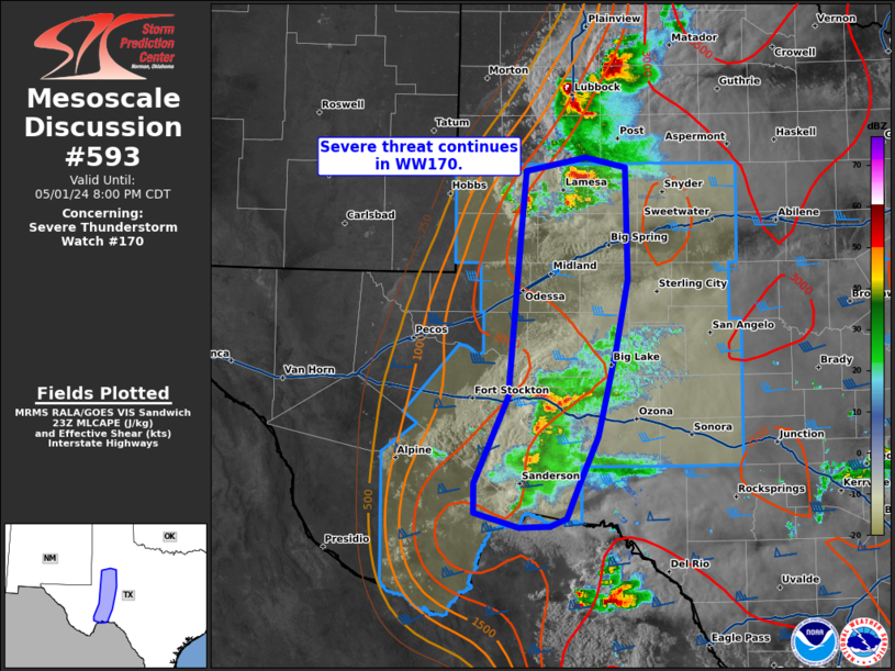
Storm Prediction Center Mesoscale Discussion 593
1 min read
|
|
 |
| Mesoscale Discussion 593 | |
| < Previous MD | |

|
|
Mesoscale Discussion 0593 NWS Storm Prediction Center Norman OK 0755 PM CDT Mon Apr 28 2025 Areas affected...North Kansas...northwest Missouri...southwest Iowa Concerning...Tornado Watch 183... Valid 290055Z - 290230Z The severe weather threat for Tornado Watch 183 continues. SUMMARY...Scattered supercells will continue this evening, especially across the southern half of ww183. DISCUSSION...Scattered supercells have developed and oriented themselves along a corridor from near SLN-STJ. This activity has matured within a strongly sheared environment (0-6km), but only modest 0-3km SRH. 00z sounding from TOP suggests weak capping persists just above 850mb, but very steep lapse rates exist and large hail will continue to be generated within the more robust updrafts. Some increase in 850mb flow is expected over the next few hours, but the primary LLJ should focus across northern IL into the eastern U.P. of MI. This activity should spread northeast into northwest MO over the next several hours, just ahead of the surging cold front. While some additional convection may be generated along the synoptic boundary, the primary concern should be with the ongoing supercells. ..Darrow.. 04/29/2025 ...Please see www.spc.noaa.gov for graphic product... ATTN...WFO...DMX...EAX...OAX...TOP...ICT... LAT...LON 38879746 39759591 40859483 39969394 38639668 38879746 MOST PROBABLE PEAK TORNADO INTENSITY...120-150 MPH MOST PROBABLE PEAK WIND GUST...55-70 MPH MOST PROBABLE PEAK HAIL SIZE...2.00-3.50 IN |
|
|
Top/All Mesoscale Discussions/Forecast Products/Home |
|
2025-04-29 01:18:02


