Storm Prediction Center Mesoscale Discussion 580
1 min read
|
|
 |
| Mesoscale Discussion 580 | |
| < Previous MD | |

|
|
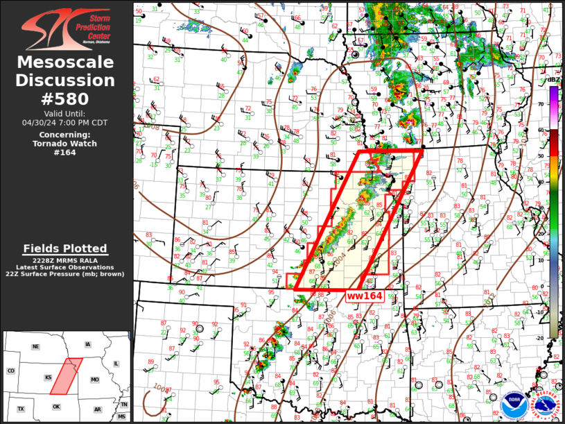
Mesoscale Discussion 0580 NWS Storm Prediction Center Norman OK 0644 PM CDT Sun Apr 27 2025 Areas affected...Portions of western Nebraska Concerning...Tornado Watch 178... Valid 272344Z - 280115Z The severe weather threat for Tornado Watch 178 continues. SUMMARY...Supercell tornado threat is expected to increase over the next hour. DISCUSSION...Recent radar data from LNX has shown splitting supercell structures and related mergers over portions of western NE, with a recent intensification of a right-moving supercell. As this storm and other nearby developing storms continue east-northeastward, a moist boundary layer (dewpoints in the lower 60s) and increasing clockwise-curved hodographs (effective SRH increasing to around 400 m2/s2) will favor an increasing supercell tornado risk. Given, the ample streamwise vorticity and rich low-level moisture, a strong tornado cannot be ruled out. ..Weinman.. 04/27/2025 ...Please see www.spc.noaa.gov for graphic product... ATTN...WFO...LBF...UNR... LAT...LON 41540202 42050220 42480265 42770270 42960242 43060212 43040173 42830127 42390090 41790095 41470122 41390177 41540202 MOST PROBABLE PEAK TORNADO INTENSITY...100-130 MPH MOST PROBABLE PEAK WIND GUST...65-80 MPH MOST PROBABLE PEAK HAIL SIZE...1.50-2.50 IN |
|
|
Top/All Mesoscale Discussions/Forecast Products/Home |
|
2025-04-28 00:34:03


