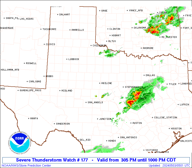
Storm Prediction Center Severe Thunderstorm Watch 177
4 min read
5 months ago
Note:
The expiration time in the watch graphic is amended if the watch is
replaced, cancelled or extended. Note: Click for Watch Status Reports.
   SEL7

   URGENT - IMMEDIATE BROADCAST REQUESTED
   Severe Thunderstorm Watch Number 177
   NWS Storm Prediction Center Norman OK
   545 PM CDT Sat Apr 26 2025

   The NWS Storm Prediction Center has issued a

   * Severe Thunderstorm Watch for portions of
     Southwest Texas

   * Effective this Saturday afternoon and evening from 545 PM until
     1000 PM CDT.

   * Primary threats include...
     Isolated very large hail events to 2.5 inches in diameter
       possible
     Isolated damaging wind gusts to 70 mph possible

   SUMMARY...Isolated supercells will pose mainly a large hail risk
   through early/mid-evening across the region.

   The severe thunderstorm watch area is approximately along and 45
   statute miles north and south of a line from 45 miles southwest of
   Wink TX to 40 miles southeast of Midland TX. For a complete
   depiction of the watch see the associated watch outline update
   (WOUS64 KWNS WOU7).

   PRECAUTIONARY/PREPAREDNESS ACTIONS...

   REMEMBER...A Severe Thunderstorm Watch means conditions are
   favorable for severe thunderstorms in and close to the watch area.
   Persons in these areas should be on the lookout for threatening
   weather conditions and listen for later statements and possible
   warnings. Severe thunderstorms can and occasionally do produce
   tornadoes.

   &&

   OTHER WATCH INFORMATION...CONTINUE...WW 175...WW 176...

   AVIATION...A few severe thunderstorms with hail surface and aloft to
   2.5 inches. Extreme turbulence and surface wind gusts to 60 knots. A
   few cumulonimbi with maximum tops to 550. Mean storm motion vector
   24025.

   ...Guyer
Note:
The Aviation Watch (SAW) product is an approximation to the watch area.
The actual watch is depicted by the shaded areas.
   SAW7
   WW 177 SEVERE TSTM TX 262245Z - 270300Z
   AXIS..45 STATUTE MILES NORTH AND SOUTH OF LINE..
   45SW INK/WINK TX/ - 40SE MAF/MIDLAND TX/
   ..AVIATION COORDS.. 40NM N/S /42SW INK - 37SE MAF/
   HAIL SURFACE AND ALOFT..2.5 INCHES. WIND GUSTS..60 KNOTS.
   MAX TOPS TO 550. MEAN STORM MOTION VECTOR 24025.

   LAT...LON 31970374 32180172 30890172 30670374

   THIS IS AN APPROXIMATION TO THE WATCH AREA.  FOR A
   COMPLETE DEPICTION OF THE WATCH SEE WOUS64 KWNS
   FOR WOU7.
Watch 177 Status Report Messages:
STATUS REPORT #3 ON WW 177

VALID 270125Z - 270240Z

THE SEVERE WEATHER THREAT CONTINUES ACROSS THE ENTIRE WATCH AREA.

..HALBERT..04/27/25

ATTN...WFO...MAF...

&&

STATUS REPORT FOR WS 177

SEVERE WEATHER THREAT CONTINUES FOR THE FOLLOWING AREAS

TXC103-135-301-329-371-389-461-475-495-270240-

TX
.    TEXAS COUNTIES INCLUDED ARE

CRANE		     ECTOR		 LOVING
MIDLAND 	     PECOS		 REEVES
UPTON		     WARD		 WINKLER
$$


THE WATCH STATUS MESSAGE IS FOR GUIDANCE PURPOSES ONLY.  PLEASE
REFER TO WATCH COUNTY NOTIFICATION STATEMENTS FOR OFFICIAL
INFORMATION ON COUNTIES...INDEPENDENT CITIES AND MARINE ZONES
CLEARED FROM SEVERE THUNDERSTORM AND TORNADO WATCHES.
$$

STATUS REPORT #2 ON WW 177

VALID 270050Z - 270140Z

THE SEVERE WEATHER THREAT CONTINUES ACROSS THE ENTIRE WATCH AREA.

..HALBERT..04/27/25

ATTN...WFO...MAF...

&&

STATUS REPORT FOR WS 177

SEVERE WEATHER THREAT CONTINUES FOR THE FOLLOWING AREAS

TXC103-135-301-329-371-389-461-475-495-270140-

TX
.    TEXAS COUNTIES INCLUDED ARE

CRANE		     ECTOR		 LOVING
MIDLAND 	     PECOS		 REEVES
UPTON		     WARD		 WINKLER
$$


THE WATCH STATUS MESSAGE IS FOR GUIDANCE PURPOSES ONLY.  PLEASE
REFER TO WATCH COUNTY NOTIFICATION STATEMENTS FOR OFFICIAL
INFORMATION ON COUNTIES...INDEPENDENT CITIES AND MARINE ZONES
CLEARED FROM SEVERE THUNDERSTORM AND TORNADO WATCHES.
$$

STATUS REPORT #1 ON WW 177

VALID 262340Z - 270040Z

THE SEVERE WEATHER THREAT CONTINUES ACROSS THE ENTIRE WATCH AREA.

..HALBERT..04/26/25

ATTN...WFO...MAF...

&&

STATUS REPORT FOR WS 177

SEVERE WEATHER THREAT CONTINUES FOR THE FOLLOWING AREAS

TXC103-135-301-329-371-389-461-475-495-270040-

TX
.    TEXAS COUNTIES INCLUDED ARE

CRANE		     ECTOR		 LOVING
MIDLAND 	     PECOS		 REEVES
UPTON		     WARD		 WINKLER
$$


THE WATCH STATUS MESSAGE IS FOR GUIDANCE PURPOSES ONLY.  PLEASE
REFER TO WATCH COUNTY NOTIFICATION STATEMENTS FOR OFFICIAL
INFORMATION ON COUNTIES...INDEPENDENT CITIES AND MARINE ZONES
CLEARED FROM SEVERE THUNDERSTORM AND TORNADO WATCHES.
$$
Probability of 1 or more strong (EF2-EF5) tornadoes
Low (5%)
Wind
Probability of 10 or more severe wind events
Low (20%)
Probability of 1 or more wind events > 65 knots
Low (10%)
Hail
Probability of 10 or more severe hail events
Mod (30%)
Probability of 1 or more hailstones > 2 inches
Mod (30%)
Combined Severe Hail/Wind
Probability of 6 or more combined severe hail/wind events
Mod (50%)
For each watch, probabilities for particular events inside the watch
(listed above in each table) are determined by the issuing forecaster.
The “Low” category contains probability values ranging from less than 2%
to 20% (EF2-EF5 tornadoes), less than 5% to 20% (all other probabilities),
“Moderate” from 30% to 60%, and “High” from 70% to greater than 95%.
High values are bolded and lighter in color to provide awareness of
an increased threat for a particular event.