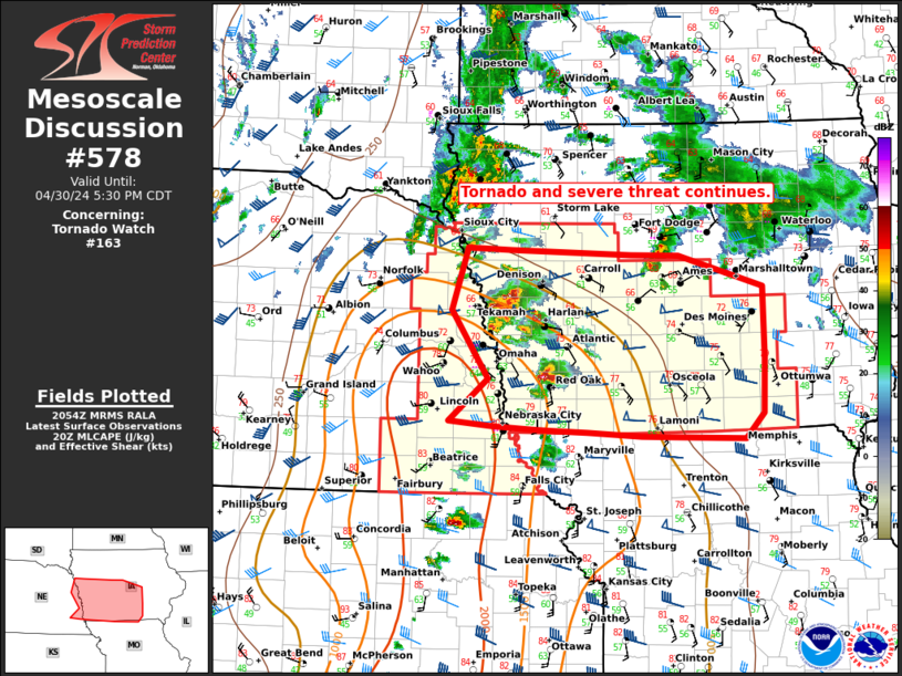
Storm Prediction Center Mesoscale Discussion 578
1 min read
|
|
 |
| Mesoscale Discussion 578 | |
| < Previous MD Next MD > | |

|
|
   Mesoscale Discussion 0578
   NWS Storm Prediction Center Norman OK
   0454 PM CDT Sun Apr 27 2025

   Areas affected...Parts of northern and central Mississippi

   Concerning...Severe potential...Watch unlikely

   Valid 272154Z - 272330Z

   Probability of Watch Issuance...5 percent

   SUMMARY...Risk of isolated severe hail and locally damaging gusts
   will persist for another couple hours.

   DISCUSSION...Radar data from GWX shows a recent uptick in
   thunderstorm intensity along/ahead of a weak boundary draped across
   the Mid-South, including a couple discrete supercellular structures.
   These storms are evolving in a warm/moist boundary layer with around
   2500 J/kg MLCAPE and 30 kt of effective shear. Isolated severe hail
   and locally damaging gusts will remain possible with this activity,
   before nocturnal cooling stabilizes the boundary layer into the
   evening. Given the localized nature of the threat, a watch is not
   expected.

   ..Weinman/Guyer.. 04/27/2025

   ...Please see www.spc.noaa.gov for graphic product...

   ATTN...WFO...MEG...JAN...LZK...

   LAT...LON   34009118 34349041 34588948 34528921 34208880 33618859
               33348886 33118947 33039061 33299115 33529133 33789135
               34009118

   MOST PROBABLE PEAK WIND GUST...UP TO 60 MPH
   MOST PROBABLE PEAK HAIL SIZE...1.00-1.75 IN
|
|
|
Top/All Mesoscale Discussions/Forecast Products/Home |
|
2025-04-27 22:46:03


