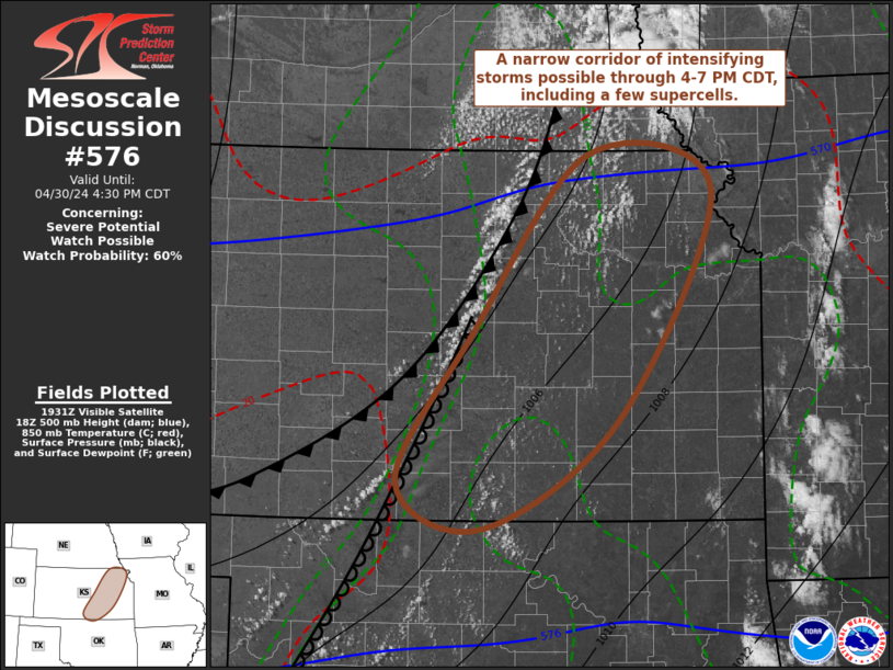
Storm Prediction Center Mesoscale Discussion 576
1 min read
|
|
 |
| Mesoscale Discussion 576 | |
| < Previous MD Next MD > | |

|
|
   Mesoscale Discussion 0576
   NWS Storm Prediction Center Norman OK
   0347 PM CDT Sun Apr 27 2025

   Areas affected...Western Kansas

   Concerning...Severe potential...Watch unlikely

   Valid 272047Z - 272245Z

   Probability of Watch Issuance...20 percent

   SUMMARY...Watch issuance in western Kansas is currently unlikely.
   Significant severe would be possible if storms develop.
   Observational trends will be monitored.

   DISCUSSION...Periodic enhancement to the cumulus field in western
   Kansas has been noted in day cloud phase satellite imagery,
   primarily in the vicinity of Goodland. Low 60s F dewpoints ahead of
   the surface trough/modest dryline has allowed around 2500 J/kg
   MLCAPE to develop. With the generally weak dryline circulation and
   uncertain/subtle mid-level ascent, the development of deep
   convection is far from a given. Only the more aggressive of the CAM
   models suggests development later this afternoon. However, despite
   this uncertainty, the environment will be conditionally favorable
   for significant severe if storms can form. Supercells would be
   likely given 40-45 kts of effective shear perpendicular to the
   dryline. Furthermore, a strong increase in 850 mb winds after 00Z
   would support a tornado threat.

   Watch issuance appears unlikely at this time, but observational
   trends (including observed sounding data) will be monitored over the
   next few hours.

   ..Wendt/Smith.. 04/27/2025

   ...Please see www.spc.noaa.gov for graphic product...

   ATTN...WFO...DDC...GLD...

   LAT...LON   37040184 37250192 37800194 38500200 39840192 39930179
               39910146 39730088 38920051 37260066 37030095 37040184

   MOST PROBABLE PEAK TORNADO INTENSITY...100-130 MPH
   MOST PROBABLE PEAK WIND GUST...55-70 MPH
   MOST PROBABLE PEAK HAIL SIZE...2.00-3.50 IN
|
|
|
Top/All Mesoscale Discussions/Forecast Products/Home |
|
2025-04-27 22:30:03


