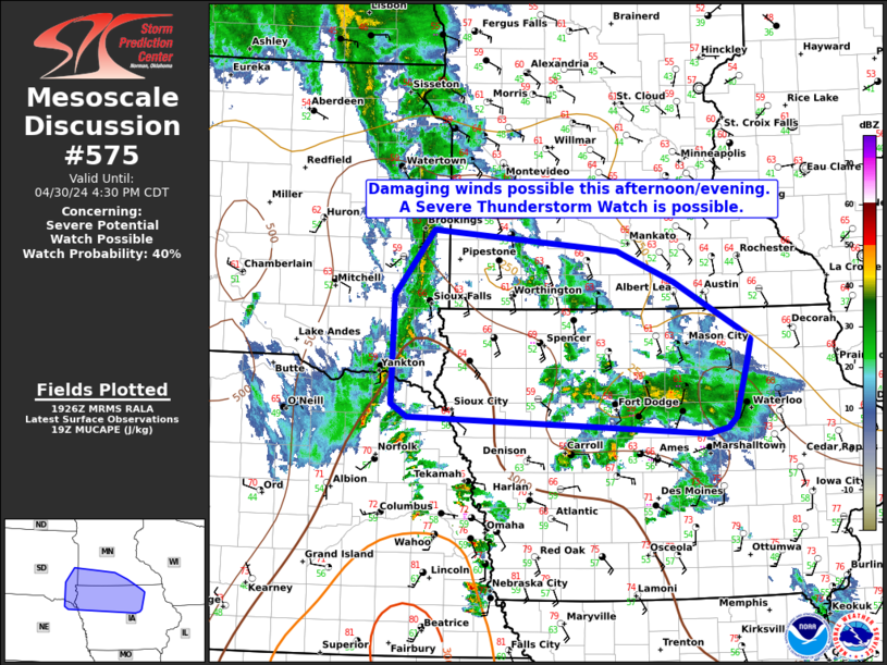
Storm Prediction Center Mesoscale Discussion 575
2 min read
|
|
 |
| Mesoscale Discussion 575 | |
| < Previous MD Next MD > | |

|
|
   Mesoscale Discussion 0575
   NWS Storm Prediction Center Norman OK
   0329 PM CDT Sun Apr 27 2025

   Areas affected...2Nebraska Panhandle into the Sandhills and
   Southwest Nebraska

   Concerning...Severe potential...Watch possible

   Valid 272029Z - 272230Z

   Probability of Watch Issuance...60 percent

   SUMMARY...Isolated to widely scattered supercell potential should
   increase over the next 2-3 hours. Large/very-large hail and severe
   gusts will be possible. The tornado threat will initially be low,
   but will increase for storms persisting near/after sunset. Trends
   will be monitored for watch issuance.

   DISCUSSION...As the lee trough continues to deepen this afternoon,
   clusters of cumulus clouds have begun to develop in northeast
   Colorado. With time and the approach of a shortwave trough, a
   surface low will become more evident in eastern Colorado. Low 60s F
   dewpoints have already reached parts of northwest Kansas and should
   continue north and west as low-level winds respond to the surface
   cyclone.

   Effective shear of around 45 kts across the trough axis will promote
   discrete storm development. Steep mid-level lapse rates and
   initially long, straight hodographs will promote a risk for
   large/very-large hail and severe winds. As the low-level jet
   increases this evening, any mature supercells ongoing will have an
   increased potential to produce a tornado. Storm coverage is somewhat
   uncertain, but isolated to widely scattered supercells appear
   possible given at least modest mid-level ascent expected over the
   next few hours.

   ..Wendt/Smith.. 04/27/2025

   ...Please see www.spc.noaa.gov for graphic product...

   ATTN...WFO...LBF...BOU...CYS...

   LAT...LON   41180373 41710412 42850358 42740190 42150098 41420084
               40730085 40520156 40540220 40820308 41180373

   MOST PROBABLE PEAK TORNADO INTENSITY...100-130 MPH
   MOST PROBABLE PEAK WIND GUST...65-80 MPH
   MOST PROBABLE PEAK HAIL SIZE...2.00-3.50 IN
|
|
|
Top/All Mesoscale Discussions/Forecast Products/Home |
|
2025-04-27 21:56:03


