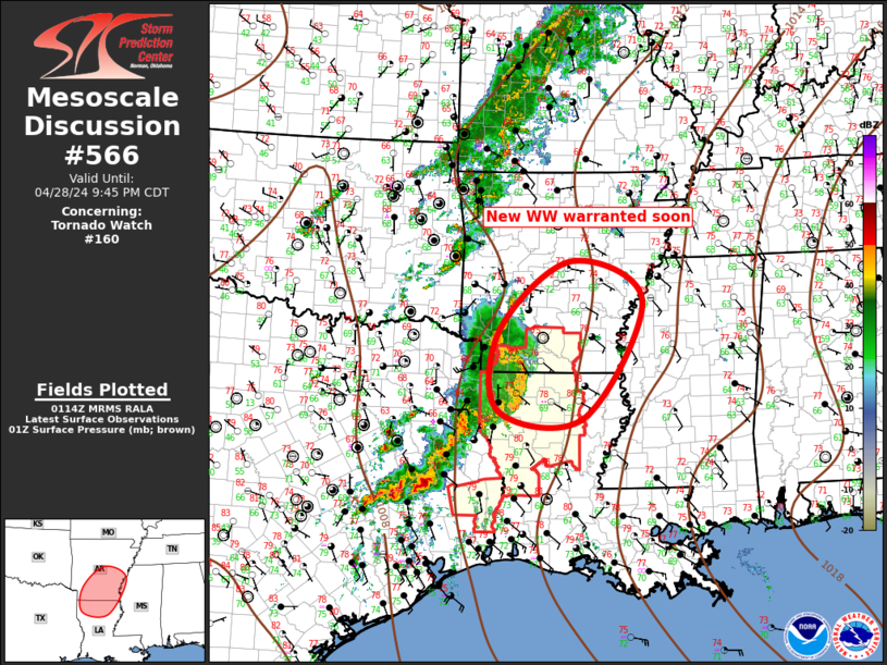
Storm Prediction Center Mesoscale Discussion 566
1 min read
|
|
 |
| Mesoscale Discussion 566 | |
| < Previous MD | |

|
|
   Mesoscale Discussion 0566
   NWS Storm Prediction Center Norman OK
   0457 AM CDT Sat Apr 26 2025

   Areas affected...Northwest Texas...Southwest Oklahoma

   Concerning...Severe potential...Watch unlikely

   Valid 260957Z - 261230Z

   Probability of Watch Issuance...20 percent

   SUMMARY...An isolated threat for large hail and severe wind gusts
   will be possible over the next couple of hours. A brief tornado may
   also occur. Although weather watch issuance appears unlikely, the
   situation will continue to be monitored.

   DISCUSSION...A small severe convective cluster is currently ongoing
   across the far southeastern Texas Panhandle and far southwest
   Oklahoma. This convection is expected to continue moving eastward
   along an east-to-west gradient of instability, where the RAP has
   MUCAPE in the 1000 to 1500 J/kg range. Forecast soundings eastward
   along the projected path of the storms have effective shear near 35
   knots with 700-500 mb lapse rates near 7 C/km. This environment
   should be enough to support a continued severe threat over the next
   couple of hours. An isolated large hail threat and potential for
   severe gusts will be possible, mainly with supercells. In addition,
   forecast soundings suggest that enough low-level shear is present
   for an isolated tornado threat. The storms will continue to move
   eastward across southwest Oklahoma, and trends will be monitored for
   additional upscale growth and organization.

   ..Broyles/Mosier.. 04/26/2025

   ...Please see www.spc.noaa.gov for graphic product...

   ATTN...WFO...OUN...LUB...AMA...

   LAT...LON   34249977 34039802 34869768 35129801 35229878 35189985
               35080032 34900054 34700057 34530052 34340026 34249977

   MOST PROBABLE PEAK TORNADO INTENSITY...UP TO 95 MPH
   MOST PROBABLE PEAK WIND GUST...55-70 MPH
   MOST PROBABLE PEAK HAIL SIZE...1.00-1.75 IN
|
|
|
Top/All Mesoscale Discussions/Forecast Products/Home |
|
2025-04-26 10:01:02


