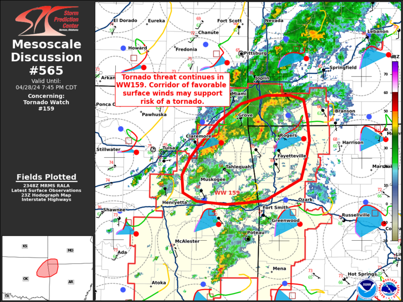
Storm Prediction Center Mesoscale Discussion 565
1 min read
|
|
 |
| Mesoscale Discussion 565 | |
| < Previous MD | |

|
|
Mesoscale Discussion 0565 NWS Storm Prediction Center Norman OK 0343 AM CDT Sat Apr 26 2025 Areas affected...Southern Texas Panhandle Concerning...Severe Thunderstorm Watch 174... Valid 260843Z - 261045Z The severe weather threat for Severe Thunderstorm Watch 174 continues. SUMMARY...An isolated threat for large hail and severe gusts could continue for another hour or two. Weather watch extension may become necessary as the 09Z watch expiration approaches. DISCUSSION...Latest hi-res radar imagery from Amarillo shows an MCS over the southern Texas Panhandle extending westward into northeastern New Mexico. This relatively large cluster of storms is located along an east-to-west oriented instability gradient, with the RAP suggesting that MLCAPE is in the 1000 to 1500 J/kg range. These storms are being supported by large-scale associated with shortwave trough over west Texas, and by warm advection that is occurring over the southern Plains. The WSR-88D VWP from Amarillo has 0-6 km shear near 40 knots with an abrupt wind shift around 1 km above ground level. This amount of deep-layer shear will be sufficient for supercells, with large hail as the primary threat. Isolated severe gusts will also be possible. The severe threat my last for a couple more hours, and could necessitate a watch extension. ..Broyles.. 04/26/2025 ...Please see www.spc.noaa.gov for graphic product... ATTN...WFO...OUN...LUB...AMA... LAT...LON 34459998 34270044 34230133 34260246 34470297 34760301 34960294 35130263 35140179 35100012 34459998 MOST PROBABLE PEAK TORNADO INTENSITY...85-115 MPH MOST PROBABLE PEAK WIND GUST...55-70 MPH MOST PROBABLE PEAK HAIL SIZE...1.00-1.75 IN |
|
|
Top/All Mesoscale Discussions/Forecast Products/Home |
|
2025-04-26 08:50:04


