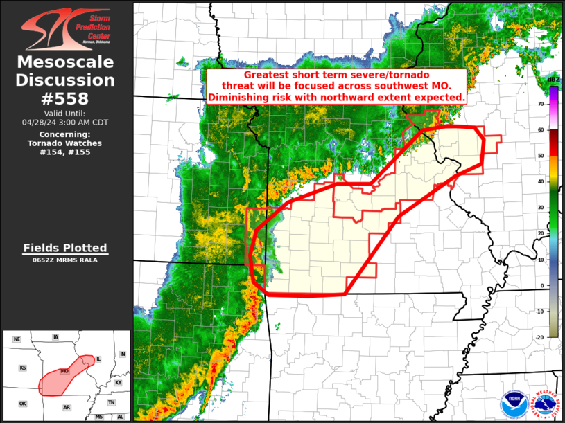
Storm Prediction Center Mesoscale Discussion 558
1 min read
|
|
 |
| Mesoscale Discussion 558 | |
| < Previous MD | |

|
|
   Mesoscale Discussion 0558
   NWS Storm Prediction Center Norman OK
   1244 PM CDT Fri Apr 25 2025

   Areas affected...the Permian Basin and Trans-Pecos

   Concerning...Severe potential...Watch likely

   Valid 251744Z - 251945Z

   Probability of Watch Issuance...80 percent

   SUMMARY...A few splitting supercells should develop by late
   afternoon. Large hail to around baseball size will be the primary
   threat. A tornado or two is also possible in the early evening.

   DISCUSSION...Incipient Cbs are forming over the Davis Mountains
   within the gradient of rich low-level moisture across much of west
   TX. These cells should become sustained in the next hour but may
   initially remain anchored to the terrain with still moderate MLCIN
   over the Pecos Valley. But by late afternoon, storms should
   propagate off the terrain as MLCIN is minimized. Weak low-level flow
   initially is yielding a nearly straight-line hodograph with
   increasing speed shear within the buoyancy layer. Most CAM guidance
   has signaled a predominant splitting supercell scenario with
   left-movers accelerating north-northeastward. Given this along with
   a more mixed environment relative to farther north, very large hail
   and localized severe gusts may be the primary hazards. Overall storm
   coverage should be isolated but may develop off the Sacramento
   Mountains as well, especially as a west TX low-level jet strengthens
   in the early evening. This could also support potential for a
   tornado or two.

   ..Grams/Smith.. 04/25/2025

   ...Please see www.spc.noaa.gov for graphic product...

   ATTN...WFO...MAF...

   LAT...LON   30180384 30230317 30570269 31300228 31940213 32380223
               32660242 32650294 32940363 32850422 32240436 30440453
               30180384

   MOST PROBABLE PEAK TORNADO INTENSITY...85-115 MPH
   MOST PROBABLE PEAK WIND GUST...55-70 MPH
   MOST PROBABLE PEAK HAIL SIZE...2.00-3.50 IN
|
|
|
Top/All Mesoscale Discussions/Forecast Products/Home |
|
2025-04-25 17:46:02


