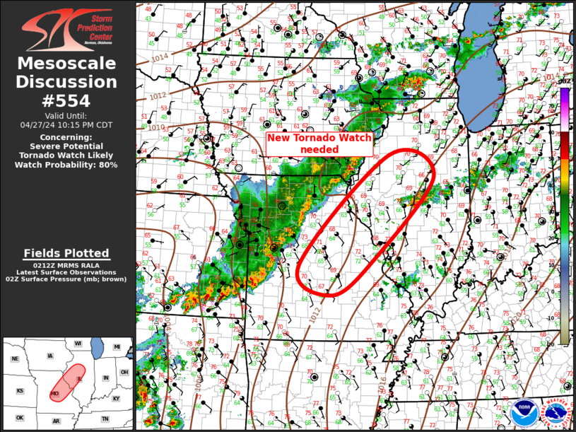
Storm Prediction Center Mesoscale Discussion 554
1 min read
|
|
 |
| Mesoscale Discussion 554 | |
| < Previous MD | |

|
|
Mesoscale Discussion 0554 NWS Storm Prediction Center Norman OK 1035 PM CDT Thu Apr 24 2025 Areas affected...Northwest into central OK Concerning...Severe Thunderstorm Watch 170... Valid 250335Z - 250500Z The severe weather threat for Severe Thunderstorm Watch 170 continues. SUMMARY...Some severe threat will spread east/southeast late tonight, though the longevity of the threat is uncertain. DISCUSSION...After being confined to northwest OK for much of the evening, an long-lived storm cluster has shown some east-southeastward acceleration over the last hour. In the short term, this cluster may continue to pose a threat of hail, localized severe gusts, and possibly a tornado, as it moves through a moderately unstable and favorably sheared environment. However, increasing MLCINH with time and southeastward extent renders uncertainty regarding the longevity of the severe threat into the overnight hours. There may be some tendency for the ongoing cluster to propagate eastward along a weakly confluent surface boundary, with some potential for redevelopment of convection along/behind the trailing outflow. There is also some potential for ongoing convection in the TX Panhandle to eventually spread eastward into west-central/northwest OK, with at least an isolated severe threat. ..Dean.. 04/25/2025 ...Please see www.spc.noaa.gov for graphic product... ATTN...WFO...OUN... LAT...LON 36389957 36849814 36839746 36589707 36059714 35599765 35489826 35439880 35339944 35319976 35479992 35629996 35919993 36149995 36389957 MOST PROBABLE PEAK TORNADO INTENSITY...85-115 MPH MOST PROBABLE PEAK WIND GUST...55-70 MPH MOST PROBABLE PEAK HAIL SIZE...1.00-1.75 IN |
|
|
Top/All Mesoscale Discussions/Forecast Products/Home |
|
2025-04-25 04:02:03


