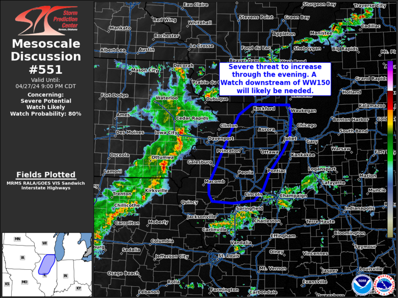
Storm Prediction Center Mesoscale Discussion 551
1 min read
|
|
 |
| Mesoscale Discussion 551 | |
| < Previous MD | |

|
|
Mesoscale Discussion 0551 NWS Storm Prediction Center Norman OK 0744 PM CDT Thu Apr 24 2025 Areas affected...Parts of the TX South Plains Concerning...Tornado Watch 167... Valid 250044Z - 250215Z The severe weather threat for Tornado Watch 167 continues. SUMMARY...A localized threat of potentially strong tornadoes has evolved to the east/northeast of Lubbock, with very large to giant hail also possible. DISCUSSION...An intense supercell over Floyd and Motley Counties in Texas has propagated southeastward into an increasingly moist boundary layer, accompanied by a notable increase in low-level mesocyclone strength. Rotational velocity and environmental characteristics suggest a strong tornado may have occurred within the last 15-30 minutes. The presence of strong buoyancy (with MLCAPE greater than 3000 J/kg per the modified 00Z AMA sounding), favorable deep-layer shear, and enlarging low-level hodographs suggest a localized threat for strong tornadoes may continue with this cell, and also potentially with an intense supercell currently over Crosby County. Greater than 4 inch hail has also been reported in Floyd County, and a threat for very large to giant hail will likely persist for as long as the ongoing supercells remain semi-discrete this evening. ..Dean.. 04/25/2025 ...Please see www.spc.noaa.gov for graphic product... ATTN...WFO...LUB... LAT...LON 33640149 34110096 34170029 33770008 33370038 33080068 33060144 33640149 MOST PROBABLE PEAK TORNADO INTENSITY...100-130 MPH MOST PROBABLE PEAK WIND GUST...65-80 MPH MOST PROBABLE PEAK HAIL SIZE...4.00+ IN |
|
|
Top/All Mesoscale Discussions/Forecast Products/Home |
|
2025-04-25 00:51:02


