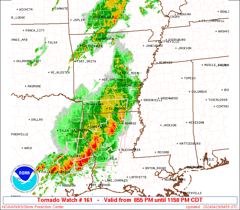
Storm Prediction Center Severe Thunderstorm Watch 161
4 min read
5 months ago
Note:
The expiration time in the watch graphic is amended if the watch is
replaced, cancelled or extended. Note: Click for Watch Status Reports.
   SEL1

   URGENT - IMMEDIATE BROADCAST REQUESTED
   Severe Thunderstorm Watch Number 161
   NWS Storm Prediction Center Norman OK
   1200 AM CDT Wed Apr 23 2025

   The NWS Storm Prediction Center has issued a

   * Severe Thunderstorm Watch for portions of
     North-Central and Central Texas

   * Effective this Wednesday morning from Midnight until 700 AM
     CDT.

   * Primary threats include...
     Scattered damaging wind gusts to 70 mph possible
     Isolated very large hail events to 2 inches in diameter possible

   SUMMARY...A pair of convective lines will continue to progress
   eastward/southeastward over the next few hours. Some cellular
   development is possible between these two lines. Strong gusts will
   be the primary severe risk with these storms tonight, but some large
   hail is possible as well.

   The severe thunderstorm watch area is approximately along and 45
   statute miles east and west of a line from 125 miles south of
   Brownwood TX to 65 miles north northwest of Fort Worth TX. For a
   complete depiction of the watch see the associated watch outline
   update (WOUS64 KWNS WOU1).

   PRECAUTIONARY/PREPAREDNESS ACTIONS...

   REMEMBER...A Severe Thunderstorm Watch means conditions are
   favorable for severe thunderstorms in and close to the watch area.
   Persons in these areas should be on the lookout for threatening
   weather conditions and listen for later statements and possible
   warnings. Severe thunderstorms can and occasionally do produce
   tornadoes.

   &&

   OTHER WATCH INFORMATION...CONTINUE...WW 160...

   AVIATION...A few severe thunderstorms with hail surface and aloft to
   2 inches. Extreme turbulence and surface wind gusts to 60 knots. A
   few cumulonimbi with maximum tops to 500. Mean storm motion vector
   24035.

   ...Mosier
Note:
The Aviation Watch (SAW) product is an approximation to the watch area.
The actual watch is depicted by the shaded areas.
   SAW1
   WW 161 SEVERE TSTM TX 230500Z - 231200Z
   AXIS..45 STATUTE MILES EAST AND WEST OF LINE..
   125S BWD/BROWNWOOD TX/ - 65NNW FTW/FORT WORTH TX/
   ..AVIATION COORDS.. 40NM E/W /33NW SAT - 43ESE SPS/
   HAIL SURFACE AND ALOFT..2 INCHES. WIND GUSTS..60 KNOTS.
   MAX TOPS TO 500. MEAN STORM MOTION VECTOR 24035.

   LAT...LON 29999970 33689859 33689702 29999820

   THIS IS AN APPROXIMATION TO THE WATCH AREA.  FOR A
   COMPLETE DEPICTION OF THE WATCH SEE WOUS64 KWNS
   FOR WOU1.
Watch 161 Status Report Messages:
STATUS REPORT #1 ON WW 161

VALID 230530Z - 230640Z

THE SEVERE WEATHER THREAT CONTINUES ACROSS THE ENTIRE WATCH AREA.

..BROYLES..04/23/25

ATTN...WFO...EWX...FWD...

&&

STATUS REPORT FOR WS 161

SEVERE WEATHER THREAT CONTINUES FOR THE FOLLOWING AREAS

TXC019-031-035-053-093-097-099-133-143-171-193-221-237-259-265-
281-299-333-337-363-367-385-425-429-497-503-230640-

TX
.    TEXAS COUNTIES INCLUDED ARE

BANDERA 	     BLANCO		 BOSQUE
BURNET		     COMANCHE		 COOKE
CORYELL 	     EASTLAND		 ERATH
GILLESPIE	     HAMILTON		 HOOD
JACK		     KENDALL		 KERR
LAMPASAS	     LLANO		 MILLS
MONTAGUE	     PALO PINTO 	 PARKER
REAL		     SOMERVELL		 STEPHENS
WISE		     YOUNG
$$


THE WATCH STATUS MESSAGE IS FOR GUIDANCE PURPOSES ONLY.  PLEASE
REFER TO WATCH COUNTY NOTIFICATION STATEMENTS FOR OFFICIAL
INFORMATION ON COUNTIES...INDEPENDENT CITIES AND MARINE ZONES
CLEARED FROM SEVERE THUNDERSTORM AND TORNADO WATCHES.
$$
Probability of 1 or more strong (EF2-EF5) tornadoes
Low (<2%)
Wind
Probability of 10 or more severe wind events
Mod (40%)
Probability of 1 or more wind events > 65 knots
Low (20%)
Hail
Probability of 10 or more severe hail events
Mod (30%)
Probability of 1 or more hailstones > 2 inches
Mod (30%)
Combined Severe Hail/Wind
Probability of 6 or more combined severe hail/wind events
High (70%)
For each watch, probabilities for particular events inside the watch
(listed above in each table) are determined by the issuing forecaster.
The “Low” category contains probability values ranging from less than 2%
to 20% (EF2-EF5 tornadoes), less than 5% to 20% (all other probabilities),
“Moderate” from 30% to 60%, and “High” from 70% to greater than 95%.
High values are bolded and lighter in color to provide awareness of
an increased threat for a particular event.