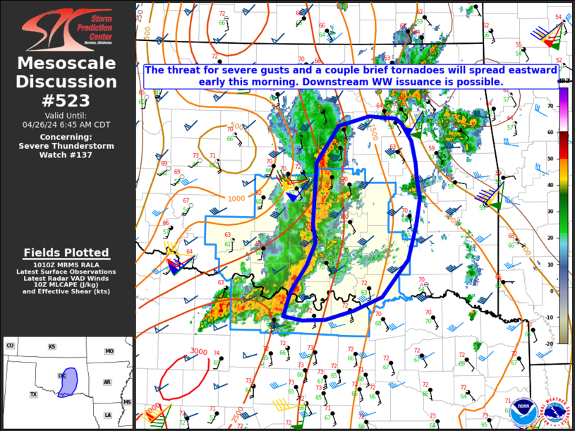
Storm Prediction Center Mesoscale Discussion 523
1 min read
|
|
 |
| Mesoscale Discussion 523 | |
| < Previous MD | |

|
|
Mesoscale Discussion 0523 NWS Storm Prediction Center Norman OK 1057 PM CDT Tue Apr 22 2025 Areas affected...portions of northwestern Texas Concerning...Severe Thunderstorm Watch 159...160... Valid 230357Z - 230530Z The severe weather threat for Severe Thunderstorm Watch 159, 160 continues. SUMMARY...Severe gusts may accompany an organized MCS over the next few hours. DISCUSSION...An MCS has organized a couple of hours ago, and the KCDS ASOS measured a southeasterly gust of 47 kts within the trailing precipitation region, indicating that a localized severe gust threat may be increasing. This is in agreement with the last several runs of Warn-on-forecast, which has depicted a severe wind swath with this MCS along/near the Red River. Given residual MLCAPE around 2000 J/kg and increasing WAA with a strengthening nocturnal low-level jet, this MCS may persist, perhaps with severe gusts for at least a few more hours. Given the approaching expiration time of the ongoing severe thunderstorm watches, a downstream watch may be needed pending favorable convective trends against increasing MLCINH. ..Squitieri.. 04/23/2025 ...Please see www.spc.noaa.gov for graphic product... ATTN...WFO...FWD...OUN...SJT...LUB... LAT...LON 33870160 34440075 34619957 34189851 33549832 33139844 32899918 32939998 33060065 33160093 33420148 33870160 MOST PROBABLE PEAK WIND GUST...65-80 MPH MOST PROBABLE PEAK HAIL SIZE...1.00-1.75 IN |
|
|
Top/All Mesoscale Discussions/Forecast Products/Home |
|
2025-04-23 04:00:04


