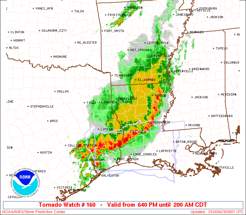
Storm Prediction Center Severe Thunderstorm Watch 160
4 min read
5 months ago
Note:
The expiration time in the watch graphic is amended if the watch is
replaced, cancelled or extended. Note: Click for Watch Status Reports.
   SEL0

   URGENT - IMMEDIATE BROADCAST REQUESTED
   Severe Thunderstorm Watch Number 160
   NWS Storm Prediction Center Norman OK
   530 PM CDT Tue Apr 22 2025

   The NWS Storm Prediction Center has issued a

   * Severe Thunderstorm Watch for portions of
     South-Central Kansas
     Western Oklahoma
     Northwest Texas

   * Effective this Tuesday afternoon and Wednesday morning from 530
     PM until 100 AM CDT.

   * Primary threats include...
     Scattered large hail and isolated very large hail events to 2.5
       inches in diameter possible
     Scattered damaging wind gusts to 70 mph possible
     A tornado or two possible

   SUMMARY...Thunderstorm development is anticipated this evening from
   south-central KS southward through western OK into northwest TX. The
   environment across the region supports the potential for supercells,
   with large to very large hail as the primary risk. A tornado or two
   is also possible, along with some strong gusts as well.

   The severe thunderstorm watch area is approximately along and 50
   statute miles east and west of a line from 45 miles northwest of
   Hutchinson KS to 60 miles southwest of Wichita Falls TX. For a
   complete depiction of the watch see the associated watch outline
   update (WOUS64 KWNS WOU0).

   PRECAUTIONARY/PREPAREDNESS ACTIONS...

   REMEMBER...A Severe Thunderstorm Watch means conditions are
   favorable for severe thunderstorms in and close to the watch area.
   Persons in these areas should be on the lookout for threatening
   weather conditions and listen for later statements and possible
   warnings. Severe thunderstorms can and occasionally do produce
   tornadoes.

   &&

   OTHER WATCH INFORMATION...CONTINUE...WW 159...

   AVIATION...A few severe thunderstorms with hail surface and aloft to
   2.5 inches. Extreme turbulence and surface wind gusts to 60 knots. A
   few cumulonimbi with maximum tops to 500. Mean storm motion vector
   24035.

   ...Mosier
Note:
The Aviation Watch (SAW) product is an approximation to the watch area.
The actual watch is depicted by the shaded areas.
   SAW0
   WW 160 SEVERE TSTM KS OK TX 222230Z - 230600Z
   AXIS..50 STATUTE MILES EAST AND WEST OF LINE..
   45NW HUT/HUTCHINSON KS/ - 60SW SPS/WICHITA FALLS TX/
   ..AVIATION COORDS.. 45NM E/W /46WSW SLN - 50SW SPS/
   HAIL SURFACE AND ALOFT..2.5 INCHES. WIND GUSTS..60 KNOTS.
   MAX TOPS TO 500. MEAN STORM MOTION VECTOR 24035.

   LAT...LON 38539753 33349837 33340010 38539938

   THIS IS AN APPROXIMATION TO THE WATCH AREA.  FOR A
   COMPLETE DEPICTION OF THE WATCH SEE WOUS64 KWNS
   FOR WOU0.
Watch 160 Status Report Messages:
STATUS REPORT #1 ON WW 160

VALID 222350Z - 230040Z

THE SEVERE WEATHER THREAT CONTINUES ACROSS THE ENTIRE WATCH AREA.

..SPC..04/22/25

ATTN...WFO...DDC...ICT...OUN...

&&

STATUS REPORT FOR WS 160

SEVERE WEATHER THREAT CONTINUES FOR THE FOLLOWING AREAS

KSC007-009-015-033-053-077-079-095-105-113-115-151-155-159-167-
169-173-185-191-230040-

KS
.    KANSAS COUNTIES INCLUDED ARE

BARBER		     BARTON		 BUTLER
COMANCHE	     ELLSWORTH		 HARPER
HARVEY		     KINGMAN		 LINCOLN
MCPHERSON	     MARION		 PRATT
RENO		     RICE		 RUSSELL
SALINE		     SEDGWICK		 STAFFORD
SUMNER
$$


OKC003-009-011-015-031-039-043-045-047-053-055-057-059-065-073-
075-093-129-141-149-151-153-230040-

OK
.    OKLAHOMA COUNTIES INCLUDED ARE

ALFALFA 	     BECKHAM		 BLAINE
CADDO		     COMANCHE		 CUSTER
DEWEY		     ELLIS		 GARFIELD
GRANT		     GREER		 HARMON
HARPER		     JACKSON		 KINGFISHER
KIOWA		     MAJOR		 ROGER MILLS
TILLMAN 	     WASHITA		 WOODS
WOODWARD
$$


TXC009-023-155-197-275-485-487-230040-

TX
.    TEXAS COUNTIES INCLUDED ARE

ARCHER		     BAYLOR		 FOARD
HARDEMAN	     KNOX		 WICHITA
WILBARGER
$$


THE WATCH STATUS MESSAGE IS FOR GUIDANCE PURPOSES ONLY.  PLEASE
REFER TO WATCH COUNTY NOTIFICATION STATEMENTS FOR OFFICIAL
INFORMATION ON COUNTIES...INDEPENDENT CITIES AND MARINE ZONES
CLEARED FROM SEVERE THUNDERSTORM AND TORNADO WATCHES.
$$
Probability of 1 or more strong (EF2-EF5) tornadoes
Low (5%)
Wind
Probability of 10 or more severe wind events
Mod (40%)
Probability of 1 or more wind events > 65 knots
Low (10%)
Hail
Probability of 10 or more severe hail events
Mod (40%)
Probability of 1 or more hailstones > 2 inches
Mod (30%)
Combined Severe Hail/Wind
Probability of 6 or more combined severe hail/wind events
High (70%)
For each watch, probabilities for particular events inside the watch
(listed above in each table) are determined by the issuing forecaster.
The “Low” category contains probability values ranging from less than 2%
to 20% (EF2-EF5 tornadoes), less than 5% to 20% (all other probabilities),
“Moderate” from 30% to 60%, and “High” from 70% to greater than 95%.
High values are bolded and lighter in color to provide awareness of
an increased threat for a particular event.