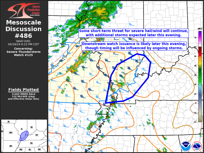
Storm Prediction Center Mesoscale Discussion 486
1 min read
|
|
 |
| Mesoscale Discussion 486 | |
| < Previous MD | |

|
|
   Mesoscale Discussion 0486
   NWS Storm Prediction Center Norman OK
   0520 PM CDT Sat Apr 19 2025

   Areas affected...southeast Ohio into central Pennsylvania

   Concerning...Severe potential...Watch unlikely

   Valid 192220Z - 192345Z

   Probability of Watch Issuance...20 percent

   SUMMARY...Thunderstorms are developing this evening along a
   surface-cold front. Despite strong deep-layer shear, modest
   instability should limit the overall severe threat and a watch is
   unlikely.

   DISCUSSION...A cluster of thunderstorms continues to move east
   across southern Ohio with a history of producing sporadic tree
   damage. Farther northeast, additional thunderstorms are developing
   along a surface-cold front pushing southeast through Pennsylvania.

   The overall environment in which these storms are progressing is
   best characterized by mixed-layer CAPE around 500 J/kg and
   effective-layer shear between 50-60 knots. Model soundings along and
   ahead of these storms suggest maximum mid-level-lapse rates greater
   than 8 C/km within the 500-700-mb layer which would suggest a
   continued threat for some hail and wind.

   Ahead of these thunderstorms, diurnal heating allowed for some
   mixing out of low-level moisture which is contributing to a
   significant reduction in 100-mb mixed-layer CAPE with eastward
   extend. The combination of decreasing instability and the loss of
   diurnal heating should promote an overall decreasing intensity trend
   and preclude the need for a watch.

   ..Marsh/Smith.. 04/19/2025

   ...Please see www.spc.noaa.gov for graphic product...

   ATTN...WFO...CTP...LWX...PBZ...RLX...ILN...

   LAT...LON   38638367 39148329 39858220 40468057 40937874 40737761
               40287740 39797777 39107980 38668184 38568292 38638367

   MOST PROBABLE PEAK WIND GUST...UP TO 60 MPH
   MOST PROBABLE PEAK HAIL SIZE...UP TO 1.25 IN
|
|
|
Top/All Mesoscale Discussions/Forecast Products/Home |
|
2025-04-19 22:22:04


