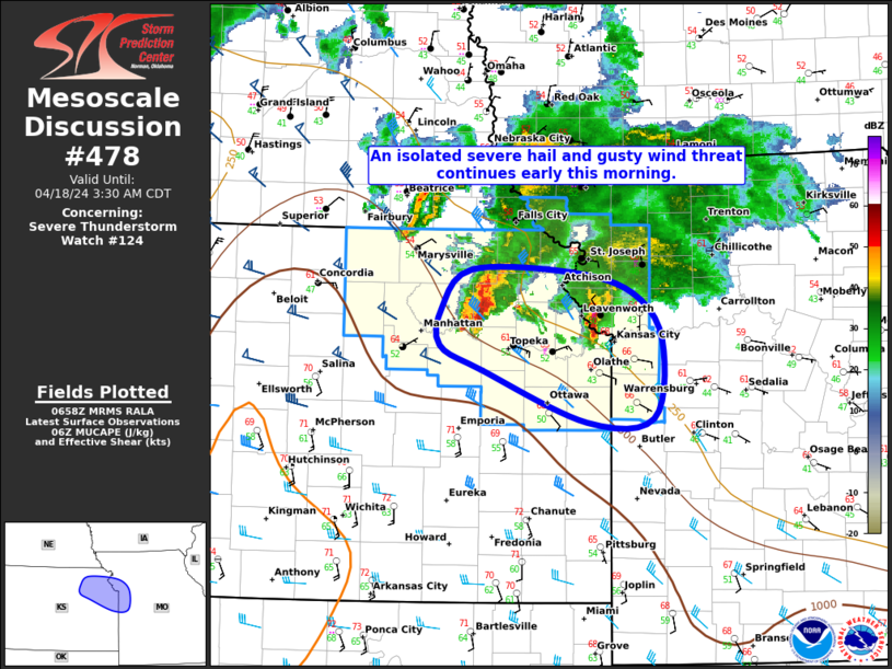
Storm Prediction Center Mesoscale Discussion 478
1 min read
|
|
 |
| Mesoscale Discussion 478 | |
| < Previous MD | |

|
|
Mesoscale Discussion 0478 NWS Storm Prediction Center Norman OK 0142 AM CDT Sat Apr 19 2025 Areas affected...Eastern Oklahoma...Northwest Arkansas...South-central and Southeastern Missouri Concerning...Severe Thunderstorm Watch 143... Valid 190642Z - 190845Z The severe weather threat for Severe Thunderstorm Watch 143 continues. SUMMARY...A severe threat is expected to continue overnight from eastern Oklahoma northeastward into southeast Missouri. Large hail and severe wind gusts will be the primary threats, but a tornado will also be possible. Weather watch issuance, or a local extension may be needed to the east of the ongoing watch near the 08Z watch expiration. DISCUSSION...The latest water vapor imagery shows a large area of convection located from northeast Oklahoma northeastward into the mid Mississippi Valley. This convection is located within southwest flow aloft near and to the west of a boundary. RAP analysis shows a low-level jet to the southeast of this convection over the Ark-La-Tex. Over the next few hours, storm development will be favored along the northwestern edge of the low-level jet from northwestern Arkansas into southern Missouri. The latest WSR-88D VWP at Springfield has strong shear with 0-6 km shear near 65 knots, and 0-3 storm-relative helicity around 400 m2/s2. This will likely support an isolated severe threat over the next couple of hours. Although isolated supercells will be possible, the mode may tend to favor short line segments, especially as instability weakens gradually. Large hail and severe gusts will be the primary threats, but a tornado will also be possible. As the expiration of WW 143 approaches, either a local extension or new watch will need to be considered. ..Broyles.. 04/19/2025 ...Please see www.spc.noaa.gov for graphic product... ATTN...WFO...PAH...LSX...LZK...SGF...TSA... LAT...LON 35839554 35369568 34999535 34899446 36229229 36749115 36959090 37239074 37569073 37849095 38039123 38099148 38049198 37729265 36759437 35839554 MOST PROBABLE PEAK HAIL SIZE...1.00-1.75 IN |
|
|
Top/All Mesoscale Discussions/Forecast Products/Home |
|
2025-04-19 06:51:03


