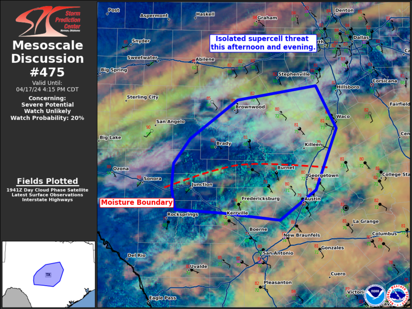
Storm Prediction Center Mesoscale Discussion 475
1 min read
|
|
 |
| Mesoscale Discussion 475 | |
| < Previous MD | |

|
|
Mesoscale Discussion 0475 NWS Storm Prediction Center Norman OK 1101 PM CDT Fri Apr 18 2025 Areas affected...south-central Missouri Concerning...Severe Thunderstorm Watch 143... Valid 190401Z - 190530Z The severe weather threat for Severe Thunderstorm Watch 143 continues. SUMMARY...The greatest severe wind threat over the next few hours will be across southern Missouri where a bowing line of storms has developed. DISCUSSION...A cluster of storms across southern Missouri has recently started bowing out east of Springfield, MO. Where this bowing segment is more favorably oriented to the deep-layer flow and along/ahead of the surface front, a greater damaging wind threat will exist. The intensity/longevity of this threat remains questionable as MUCAPE is lower across southeast Missouri (~1000-1200 J/kg per SPC mesoanalysis). However, the low-level jet is intensifying (as sampled by the LZK and PAH VWP) and may be sufficient to maintain a severe wind threat for a few more hours into portions of southeast Missouri. ..Bentley.. 04/19/2025 ...Please see www.spc.noaa.gov for graphic product... ATTN...WFO...PAH...LSX...SGF... LAT...LON 36909328 37079331 37299299 37569286 37759180 37779033 37499019 37059102 36859233 36859298 36909328 MOST PROBABLE PEAK TORNADO INTENSITY...UP TO 95 MPH MOST PROBABLE PEAK WIND GUST...55-70 MPH MOST PROBABLE PEAK HAIL SIZE...UP TO 1.25 IN |
|
|
Top/All Mesoscale Discussions/Forecast Products/Home |
|
2025-04-19 04:04:02


