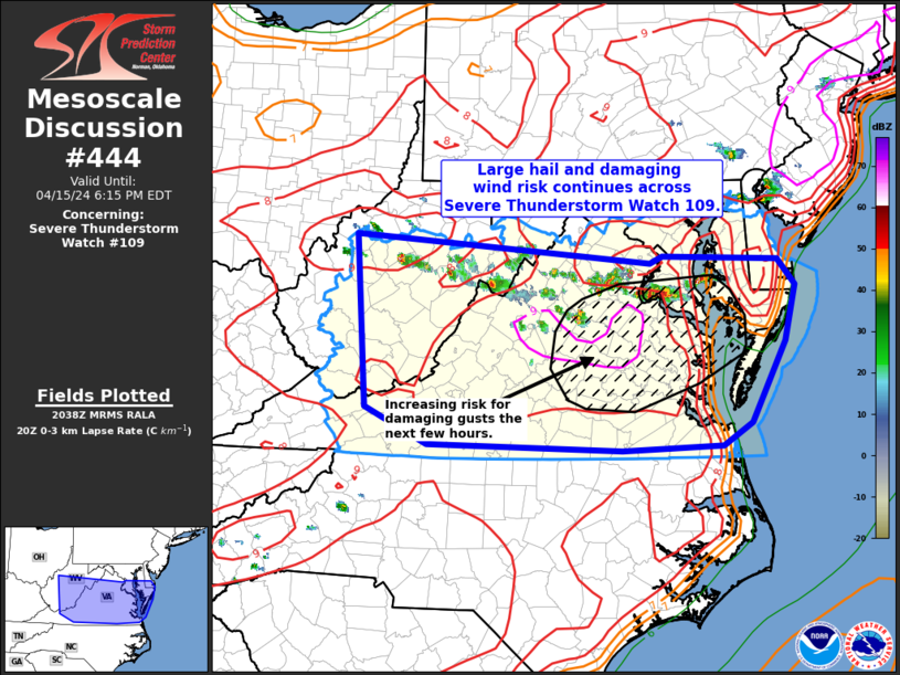
Storm Prediction Center Mesoscale Discussion 444
1 min read
|
|
 |
| Mesoscale Discussion 444 | |
| < Previous MD Next MD > | |

|
|
Mesoscale Discussion 0444 NWS Storm Prediction Center Norman OK 0652 PM CDT Thu Apr 10 2025 Areas affected...Northern Georgia Concerning...Severe Thunderstorm Watch 137... Valid 102352Z - 110145Z The severe weather threat for Severe Thunderstorm Watch 137 continues. SUMMARY...Scattered severe thunderstorms are expected this evening. DISCUSSION...Convection is gradually expanding in areal coverage this evening, likely in response to the left-exit region of an approaching mid-level speed max. West-southwesterly boundary-layer inflow is also contributing, as this trajectory is allowing higher instability air mass across northern AL to spread downstream into northern GA. Latest radar data suggests the most robust updrafts are generating hail, much of it approaching golf ball size. Additionally, damaging winds are likely noted as the steepest lapse rate plume does extend into this portion of GA. This expanding convective corridor will gradually sag southeast as the evening progresses. ..Darrow.. 04/10/2025 ...Please see www.spc.noaa.gov for graphic product... ATTN...WFO...GSP...FFC...BMX... LAT...LON 34238291 33248323 33678573 34758531 34238291 MOST PROBABLE PEAK WIND GUST...65-80 MPH MOST PROBABLE PEAK HAIL SIZE...1.50-2.50 IN |
|
|
Top/All Mesoscale Discussions/Forecast Products/Home |
|
2025-04-11 00:44:03


