Storm Prediction Center Mesoscale Discussion 439
1 min read
|
|
 |
| Mesoscale Discussion 439 | |
| < Previous MD | |

|
|
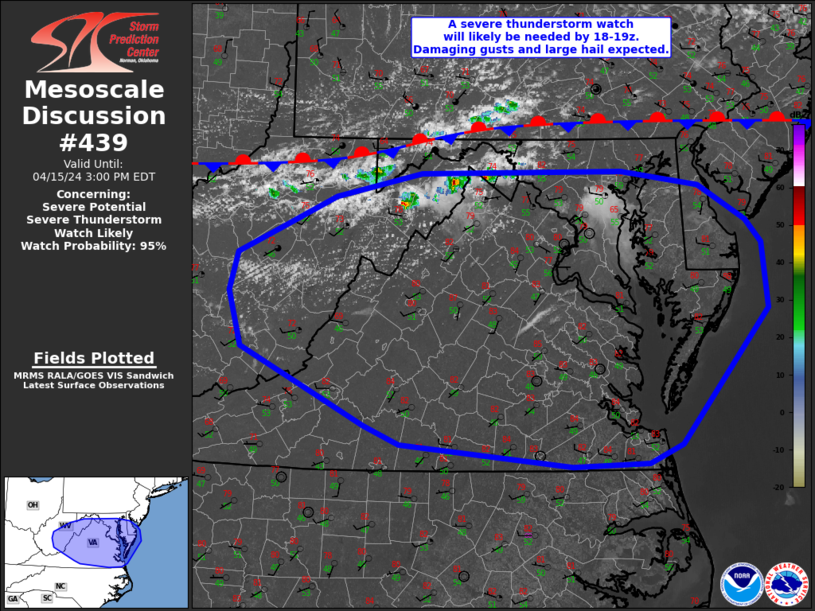
Mesoscale Discussion 0439 NWS Storm Prediction Center Norman OK 0648 PM CDT Mon Apr 07 2025 Areas affected...Eastern Carolinas Concerning...Severe Thunderstorm Watch 134... Valid 072348Z - 080115Z The severe weather threat for Severe Thunderstorm Watch 134 continues. SUMMARY...Strong, to locally severe, thunderstorms will spread across the eastern Carolinas this evening. DISCUSSION...Pre-frontal confluence zone extends across the Coastal Carolinas early this evening. Over the last half hour or so, some increase in intensity has been noted with convection from near FLO-MEB. This activity has gradually evolved into a line segment, and damaging winds may become a threat if a bowing-type structure ultimately evolves. Damaging winds are the greatest risk with organized convection this evening. ..Darrow.. 04/07/2025 ...Please see www.spc.noaa.gov for graphic product... ATTN...WFO...AKQ...MHX...RAH...ILM...CHS...CAE... LAT...LON 33448059 36707725 36707508 33457851 33448059 MOST PROBABLE PEAK TORNADO INTENSITY...UP TO 95 MPH MOST PROBABLE PEAK WIND GUST...65-80 MPH |
|
|
Top/All Mesoscale Discussions/Forecast Products/Home |
|
2025-04-08 00:02:02


