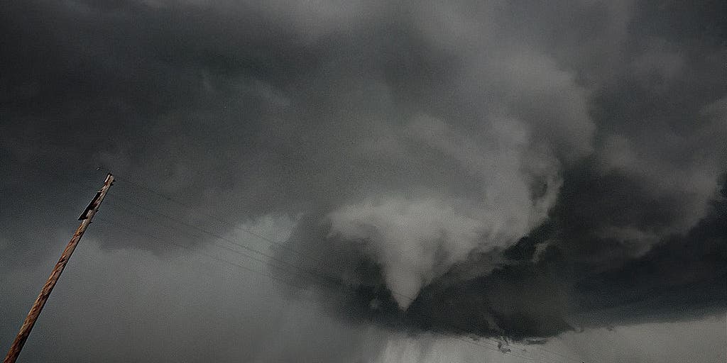
Tornado outbreak expected Wednesday amid rare high-risk severe weather threat
3 min read
A tornado outbreak is expected Wednesday and Wednesday night for parts of the mid Mississippi and lower Ohio Valleys into the Ozarks. Numerous tornadoes, including multiple intense, long-tracked tornadoes are likely. The National Weather Service’s Storm Prediction Center upgraded portions of KY, TN, MO and AR to a Level 5 out of 5 threat for severe storms today.
MEMPHIS, Tenn. – A tornado outbreak is expected Wednesday and Wednesday night from parts of the mid-Mississippi and lower Ohio valleys westward into the eastern Ozarks, including the threat of multiple long-track EF-3 or stronger tornadoes.
NOAA’s Storm Prediction Center (SPC) upgraded portions of Arkansas, Missouri, Illinois, Kentucky, Tennessee and Mississippi to a rare Level 5 out of 5 “high risk” of severe weather.
HOW ARE TORNADOES RATED? THE ENHANCED FUJITA SCALE EXPLAINED

(FOX Weather)
This marks only the second time this year, and the first instance of two such high-risk alerts in a single year since 2021, that a Level 5 threat has been issued. The previous Level 5 alert was issued on March 15 when the National Weather Service confirmed 13 tornadoes, including six powerful EF-3s, which tragically resulted in seven deaths and 12 injuries.
Outside the high-risk zone, Wednesday’s overall threat of severe storms spans an area from North Texas to the southern Great Lakes and also includes the potential for hail larger than 2 inches in diameter and damaging wind gusts in excess of 70 mph.

(FOX Weather)
While the greatest tornado risk is expected from Wednesday afternoon into Wednesday evening, severe weather is already ongoing in parts of the central U.S.
On Wednesday morning, a line of thunderstorms exploded across central and eastern Kansas. A tornado was spotted near Salina, Kansas, as the storms rolled through the region.
Farther south, parts of the Dallas–Fort Worth Metroplex in North Texas face a Level 3 out of 5 severe weather threat as this line of storms expands and charges east through the morning.

(FOX Weather)
By Wednesday afternoon and evening, the wider severe weather threat encompasses major cities such as Chicago, Indianapolis and Columbus, Ohio, which are under a Level 3 out of 5 threat for severe storms. While tornadoes are possible in those metro areas, large hail and damaging wind gusts are the more likely threats there.
Potential for long-track EF-3 or stronger tornadoes in parts of Midwest, South
The SPC warned Wednesday morning that the “most intense tornadic supercells will be capable of producing long-track EF-3+ tornadoes.”
This threat is greatest from parts of the mid-Mississippi and lower Ohio valleys westward into the eastern Ozarks and is expected to begin Wednesday afternoon and last until the evening.

(FOX Weather)
“When the Storm Prediction Center slaps a high risk, it commands your attention,” FOX Weather Meteorologist Britta Merwin warned. “This is the worst of the worst when it comes to a forecast setup, and you have to be prepared for these tornadoes that could be on the ground for miles and miles on end.”
Many of the same areas at risk of the worst of the severe weather also face the risk of life-threatening flash flooding starting Wednesday.
https://images.foxweather.com/static.foxweather.com/www.foxweather.com/content/uploads/2025/03/1024/512/gettyimages-171898644.jpg?ve=1&tl=1
2025-04-02 11:44:00


