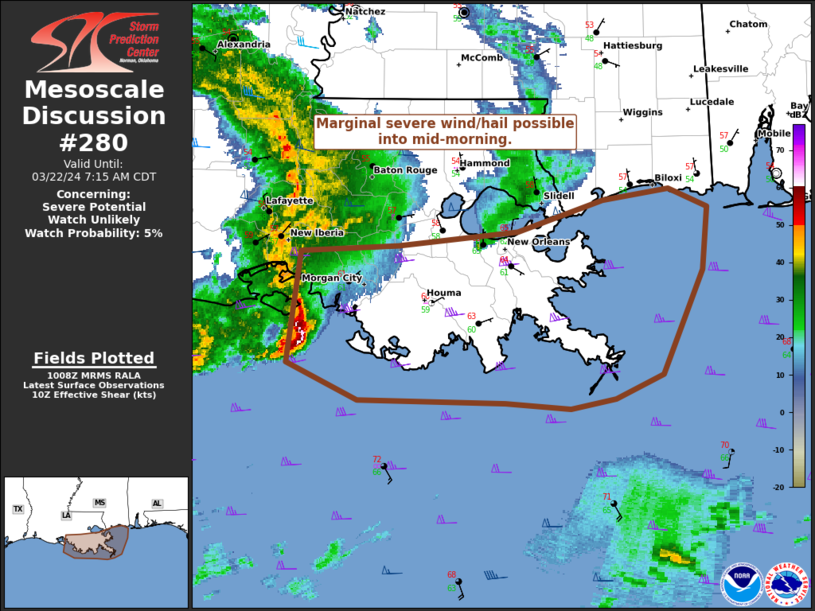
Storm Prediction Center Mesoscale Discussion 280
1 min read
|
|
 |
| Mesoscale Discussion 280 | |
| < Previous MD | |

|
|
   Mesoscale Discussion 0280
   NWS Storm Prediction Center Norman OK
   0758 PM CDT Fri Mar 28 2025

   Areas affected...Much of Upper Michigan

   Concerning...Freezing rain

   Valid 290058Z - 290600Z

   SUMMARY...Freezing rain (and possibly some sleet) will increase in
   intensity over the next few hours. Heavy freezing rain rates around
   0.1 inch per hour will be possible through at least 06Z.

   DISCUSSION...A swath of showers with embedded convective elements is
   ongoing/spreading eastward across Upper Michigan -- well north of
   the warm front draped across central WI. This activity will continue
   to be aided by low-level warm advection and strengthening
   frontogenesis in the vicinity of a coupled upper-level jet
   structure. Beneath the warm-advection plume, surface temperatures
   are in the lower 30s F, and continued surface-layer cold advection,
   combined with nocturnal and wet-bulb cooling, will support another
   couple degrees of cooling over the next few hours. Given deeply
   saturated thermodynamic profiles, this will support a gradual
   intensification of freezing rain, with rates around 0.1 inch per
   hour possible. These heavier rates should persist through at least
   06Z, before the large-scale ascent shifts eastward away from the
   region.

   ..Weinman.. 03/29/2025

   ...Please see www.spc.noaa.gov for graphic product...

   ATTN...WFO...APX...MQT...

   LAT...LON   47118890 47508830 47518768 47178680 46778481 46428390
               46068333 45758352 45668406 45888657 46188799 46368870
               46708896 47118890
|
|
|
Top/All Mesoscale Discussions/Forecast Products/Home |
|
2025-03-29 01:00:03


