
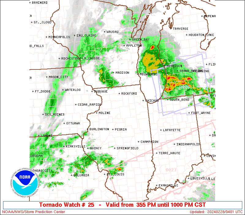
Storm Prediction Center Severe Thunderstorm Watch 25
2 min read
Note:
The expiration time in the watch graphic is amended if the watch is
replaced, cancelled or extended.
Note: Click for Watch Status Reports.
   SEL5

   URGENT - IMMEDIATE BROADCAST REQUESTED
   Severe Thunderstorm Watch Number 25
   NWS Storm Prediction Center Norman OK
   315 AM EST Wed Mar 5 2025

   The NWS Storm Prediction Center has issued a

   * Severe Thunderstorm Watch for portions of
     North Florida
     Southern into Southeast Georgia
     Southern South Carolina
     Coastal Waters

   * Effective this Wednesday morning from 315 AM until 1000 AM EST.

   * Primary threats include...
     Scattered damaging wind gusts to 70 mph possible
     A tornado or two possible

   SUMMARY...A squall line will move eastward across the Watch area
   overnight into the morning.  Damaging gusts ranging 55-70 mph are
   possible with the stronger inflections and bowing segments within
   the convective line.  A brief tornado is also possible.

   The severe thunderstorm watch area is approximately along and 90
   statute miles east and west of a line from 55 miles north northeast
   of Vidalia GA to 55 miles south of Valdosta GA. For a complete
   depiction of the watch see the associated watch outline update
   (WOUS64 KWNS WOU5).

   PRECAUTIONARY/PREPAREDNESS ACTIONS...

   REMEMBER...A Severe Thunderstorm Watch means conditions are
   favorable for severe thunderstorms in and close to the watch area.
   Persons in these areas should be on the lookout for threatening
   weather conditions and listen for later statements and possible
   warnings. Severe thunderstorms can and occasionally do produce
   tornadoes.

   &&

   OTHER WATCH INFORMATION...CONTINUE...WW 23...WW 24...

   AVIATION...A few severe thunderstorms with hail surface and aloft to
   0.5 inches. Extreme turbulence and surface wind gusts to 60 knots. A
   few cumulonimbi with maximum tops to 350. Mean storm motion vector
   26035.

   ...Smith

2025-03-05 08:17:02
