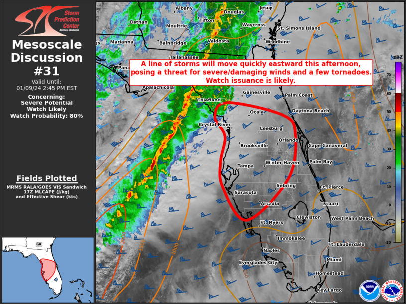
Storm Prediction Center Mesoscale Discussion 31
1 min read
|
|
 |
| Mesoscale Discussion 31 | |
| < Previous MD | |

|
|
   Mesoscale Discussion 0031
   NWS Storm Prediction Center Norman OK
   0750 AM CST Fri Jan 10 2025

   Areas affected...Northeast GA into parts of SC

   Concerning...Winter mixed precipitation

   Valid 101350Z - 101745Z

   SUMMARY...Winter mixed precipitation may increase through the
   morning.

   DISCUSSION...The eastern portion of an extensive precipitation
   shield is currently spreading across northeast GA into parts of SC.
   Evaporative cooling and saturation of an initially dry column (as
   noted on the 12Z CHS sounding) will allow for some increase in
   winter precipitation rates through the morning. As initial
   saturation occurs, occasionally moderate snow and/or sleet rates may
   develop (as noted in upstream observations), though there may be
   some tendency toward a liquid precipitation phase and freezing-rain
   potential with time and eastward extent, as warm advection above the
   surface continues to increase. Some ice accretion will be possible
   where near-surface cold/dry advection allows subfreezing
   temperatures to persist through the remainder of the morning into
   early afternoon.

   ..Dean.. 01/10/2025

   ...Please see www.spc.noaa.gov for graphic product...

   ATTN...WFO...ILM...CHS...CAE...GSP...FFC...

   LAT...LON   34668331 34808306 34688236 34528157 34348095 34008018
               33807988 33497976 33217979 33068006 32968036 32938070
               32958118 32958170 32978217 32998271 33138340 33768294
               34668331
|
|
|
Top/All Mesoscale Discussions/Forecast Products/Home |
|
2025-01-10 16:27:03


