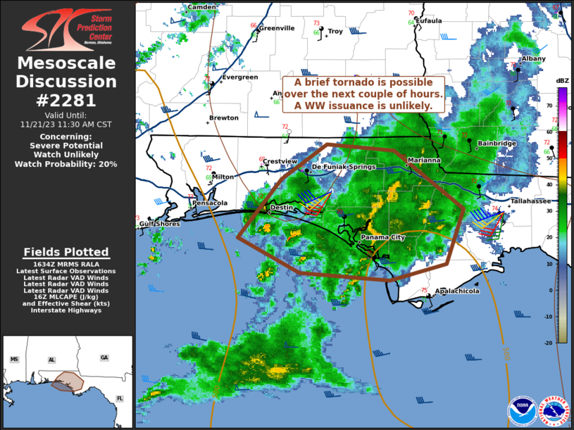
Storm Prediction Center Mesoscale Discussion 2281
1 min read
|
|
 |
| Mesoscale Discussion 2281 | |
| < Previous MD | |

|
|
   Mesoscale Discussion 2281
   NWS Storm Prediction Center Norman OK
   0918 AM CST Thu Dec 26 2024

   Areas affected...north Texas

   Concerning...Severe potential...Watch unlikely

   Valid 261518Z - 261715Z

   Probability of Watch Issuance...20 percent

   SUMMARY...Thunderstorms may pose a risk for marginally severe hail
   (0.5 to 1.25 inch diameter) in the near-term (next couple of hours).
   A severe thunderstorm watch is not currently expected, but may
   become possible toward early afternoon for portions of the MCD area.

   DISCUSSION...Elevated thunderstorms are occurring this morning in a
   low-level warm advection regime ahead of an approaching upper
   shortwave trough. The morning FWD RAOB indicated steep midlevel
   lapse rates but strong inhibition through may layers in the
   thermodynamic profile. However, latest SPC Mesoanalysis data and RAP
   forecast soundings indicate midlevel inhibition is likely decreasing
   with time as midlevel temperatures continue to cool and large-scale
   ascent increases with the approaching of the upper trough. Some
   brief increase in convective cores has also been noted in 7km CAPPI,
   along with small increases in MRMS MESH.

   Favorable vertical shear, with elongated/straight hodographs above 2
   km will support some continued organization of elevated storms into
   midday. This activity may briefly be capable of producing marginally
   severe hail (0.5 to 1.25 inch diameter) the next couple of hours.
   While this initial convection may not require a watch in the short
   term. Severe potential may increase by early afternoon across parts
   of the MCD area and watch issuance may be needed later (and will be
   discussed in forthcoming MCDs).

   ..Leitman/Thompson.. 12/26/2024

   ...Please see www.spc.noaa.gov for graphic product...

   ATTN...WFO...FWD...EWX...

   LAT...LON   31899854 32649828 33039770 33419710 33539659 33559605
               33429578 33119571 32639568 32139580 31749611 31349671
               30999756 31029803 31159835 31719857 31899854
|
|
|
Top/All Mesoscale Discussions/Forecast Products/Home |
|
2024-12-26 15:19:06


